June 16, 2026
Berlin to Tenerife: Waiting for Teide Above the Atlantic
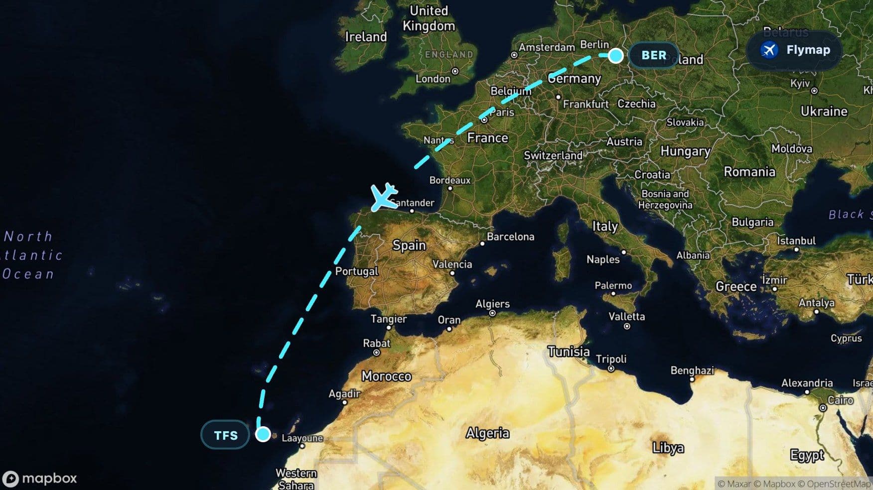
See what you may fly over from Berlin Brandenburg to Tenerife Sur, including Germany, North European Plain, Harz, Belgium and Ardennes.
Distance
3,831 km
Timing
4h 55m
Countries
4 countries
 Berlin Brandenburg
 Germany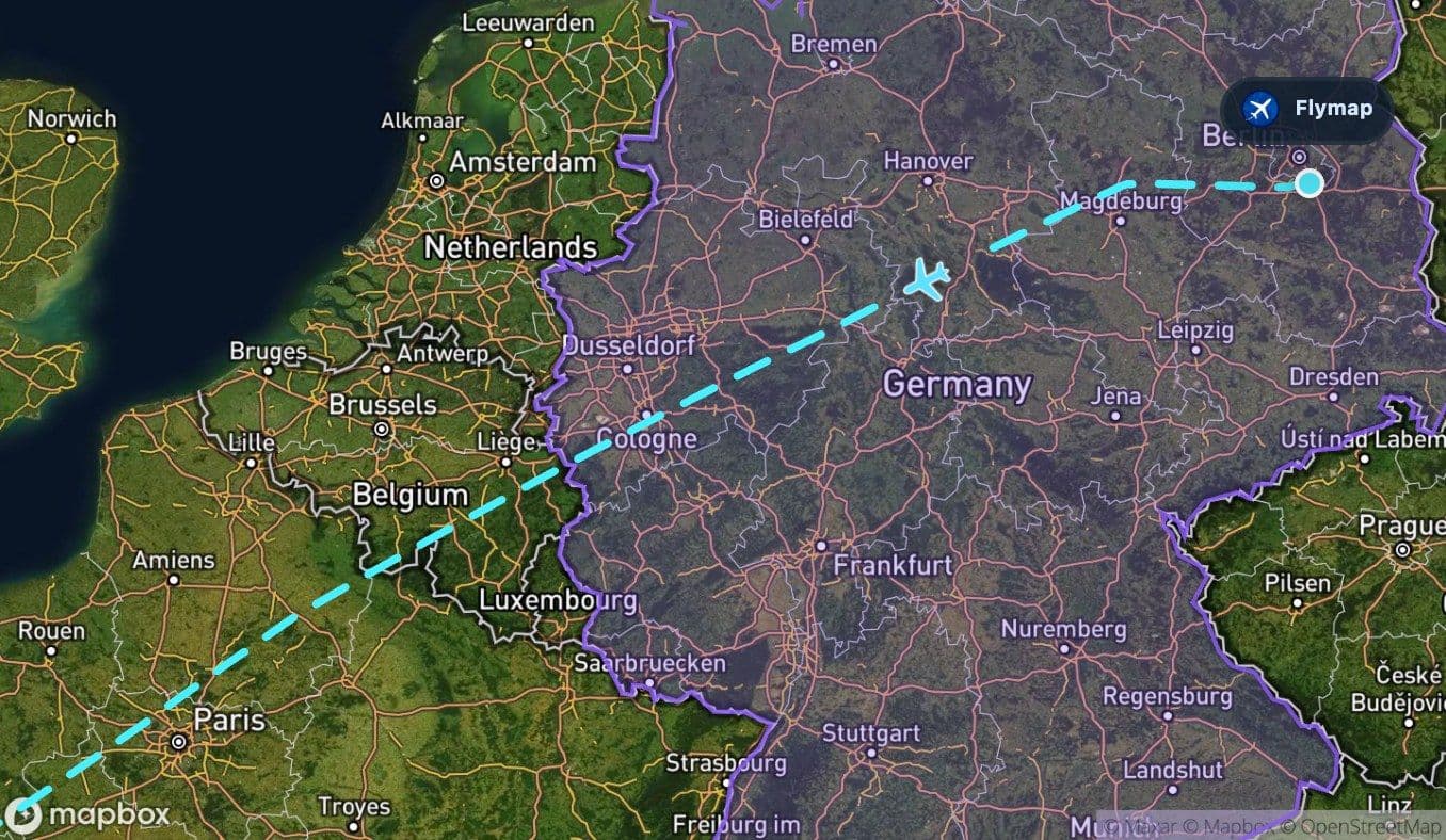
 North European Plain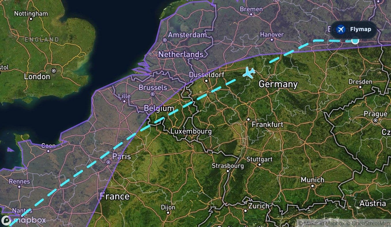
 Harz
Harz Belgium
 Ardennes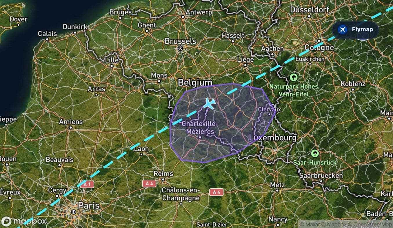
 France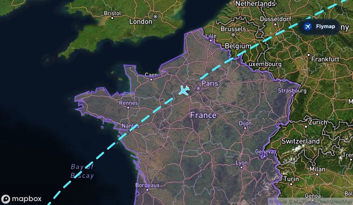
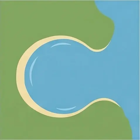 Bay of Biscay
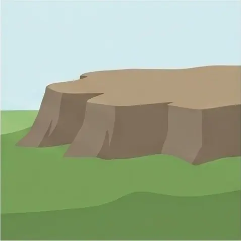 Iberian Peninsula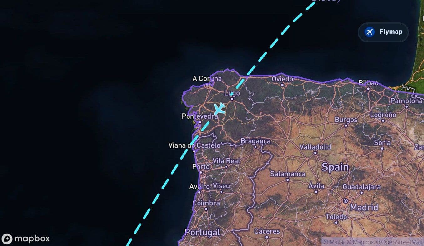
 Spain
Spain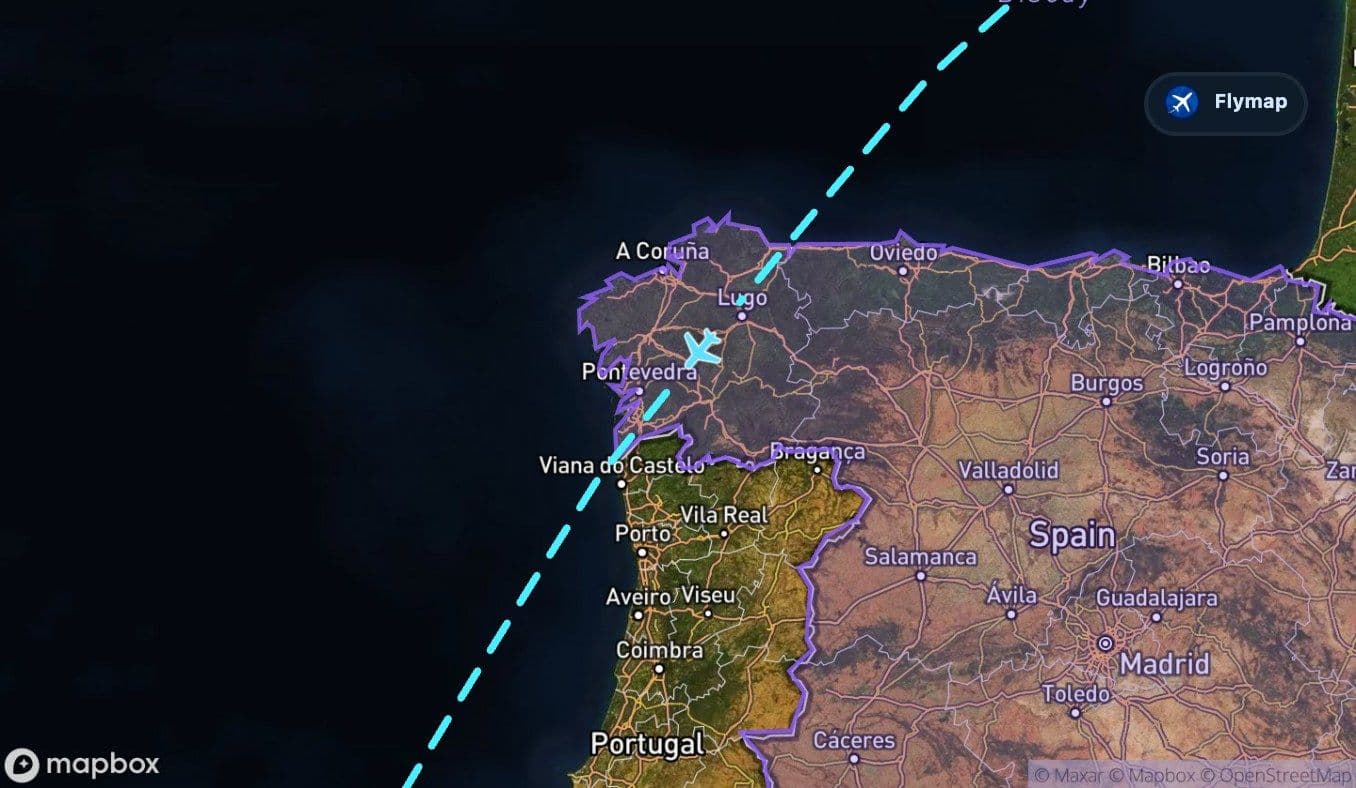
 Atlantic Ocean
 Canary IslandsTenerife Sur
This Berlin to Tenerife flight is really building toward one reveal: the Canary Islands rising from the Atlantic, with Tenerife’s volcanic landscape waiting near the end. For much of the journey, the aircraft leaves behind the flatter heart of Europe, crosses the Bay of Biscay, brushes the Iberian Peninsula, and then spends a long stretch over open ocean before the island chain finally appears.
Flymap helps make that slow build-up easier to follow, especially on the ocean section when the view outside may be mostly cloud, water and horizon.
A volcanic island is the payoff
The most distinctive part of the route is not at the beginning. It comes near arrival, when the Canary Islands appear after the Atlantic crossing. Tenerife is part of a volcanic archipelago, and the island is strongly associated with Teide, the great volcanic peak that dominates its landscape.
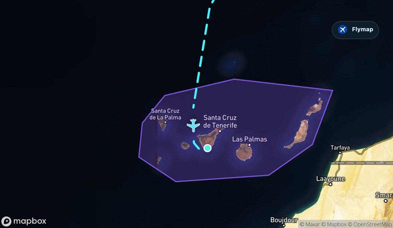
The route data marks the Canary Islands as the final broad region before arrival. From the window, this is the moment the flight stops feeling like a long ocean crossing and becomes an island approach. If visibility is good, the shapes below can change quickly: ocean, island edges, rugged ground, and the terrain of Tenerife itself.
The drama of this flight is the wait: Europe slowly falls away, and the destination only reveals itself after a long Atlantic run.
Germany starts with plains, then a low mountain signal
The early route leaves Berlin over Germany and the North European Plain. This first part is likely to look organised and settled from above: towns, fields, roads and river corridors across relatively low terrain.
Soon after departure, the Harz Mountains provide one of the first noticeable relief changes. They are not high like the Alps, but from cruising altitude they can still stand out as a darker, forested upland rising from the surrounding plain.
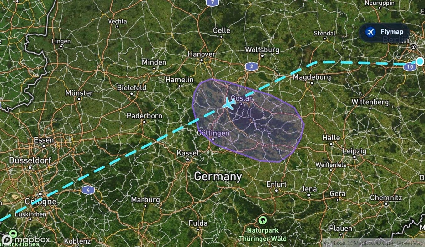
This early upland section is brief, but it helps set the route’s pattern: mostly broad lowlands, interrupted by ridges and hills, before the journey opens toward the Atlantic.
The Ardennes add a second green ridge
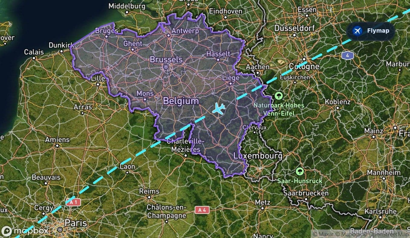
After Germany, the route crosses Belgium and the Ardennes. Like the Harz, the Ardennes are a lower mountain region rather than a dramatic high range. Their visual character is more about forested hills, ridges and valleys than sharp peaks.
From the window, this section may appear as a textured green belt between flatter areas. It is also a useful reminder that the route is not simply heading south in a straight line over open water. It first cuts across several European landscapes before reaching the ocean-facing edge of the continent.
France is the last long mainland stretch before Biscay
France forms the longest land section before the first major sea crossing. The route passes over a country of river basins, plains and varied terrain, but on this track the strongest visual impression may be the gradual movement toward the Atlantic side.
If skies are clear, look for the change from inland patterns to the wider coastal geography ahead. The landscape may feel less mountainous here than the Harz or Ardennes sections, but it is an important transition: Europe is still below, yet the route is already preparing to leave the continent behind.
The Bay of Biscay opens the view
The Bay of Biscay is the first large water feature on the route. Compared with inland Europe, it can feel sudden: the land gives way to a broad Atlantic-facing bay between France and Spain.
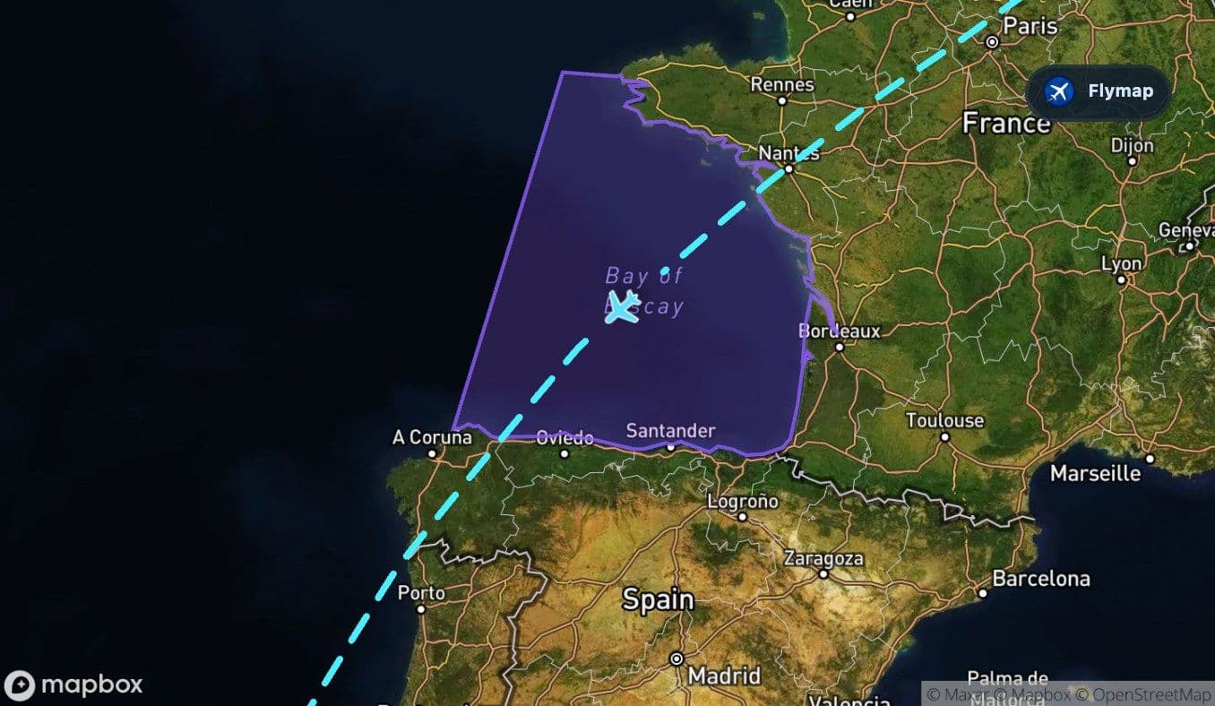
This is a good point in the flight to look at the window and the map together. The bay has a strong geographic role because it separates the long mainland crossing from the short Iberian section that follows. Its coastline can look rugged in places, with the ocean meeting the western edge of Europe before the aircraft reaches northern Spain.
Iberia is brief, then the ocean takes over
After the Bay of Biscay, the route reaches the Iberian Peninsula and Spain. This land section is relatively short compared with the Atlantic leg that follows. The aircraft crosses plateau country and then leaves the mainland behind.
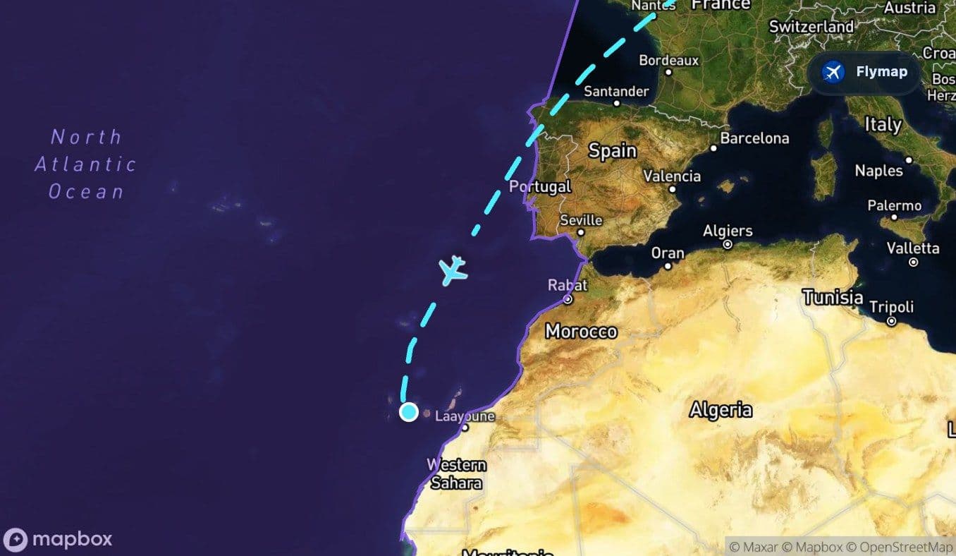
From here, the Atlantic Ocean becomes the main feature below for a long part of the flight. The view may be simple, but the geography is not empty. This ocean stretch is what gives the Tenerife arrival its sense of distance: the Canary Islands sit far from continental Europe, and the flight path makes that separation visible.
During this section, passengers may notice:
- long periods with no land in sight,
- cloud layers casting shadows on the ocean,
- a clearer sense of isolation as the route moves southwest,
- the final excitement when islands begin to appear on the map.
The island approach after open water
Near the end, the Canary Islands come into range. This is the route’s strongest visual reward. Instead of more mainland coastline, the aircraft approaches an Atlantic archipelago where volcanic islands rise sharply from the ocean.
Tenerife’s southern arrival side can feel especially striking because the island is compact but mountainous. The airport lies on the island’s south side, while the wider island landscape includes steep terrain, volcanic forms and coastal contrasts. Even if Teide itself is not visible from every seat or approach direction, the route is clearly building toward volcanic geography rather than a flat beach destination.
Route summary
- The flight starts over Germany and the North European Plain, with the Harz as an early upland feature.
- Belgium and the Ardennes add another short section of forested hills and ridges.
- France leads the route toward the Bay of Biscay, the first major water feature.
- After a short Iberian crossing, the Atlantic becomes the dominant landscape below.
- The journey finishes with the Canary Islands, where Tenerife’s volcanic setting gives the arrival its strongest visual identity.
*Data based on a historical route track for FR2418.
Route Gallery (11 images)
Download this or any other flight map in Flymap app
Open Flymap on your phone for app-store download links and offline-ready flight maps.


Flymap app