


1
Pick your route
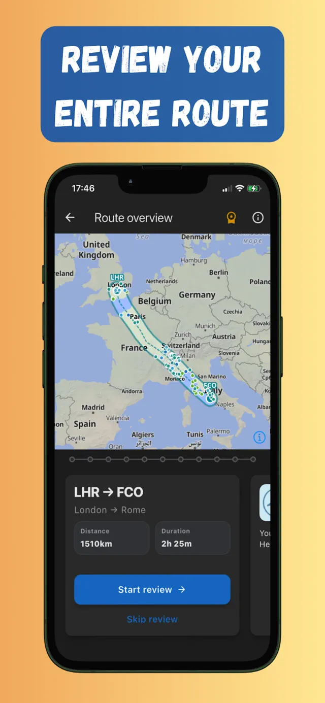
Enter departure and arrival airports. Flymap builds your flight corridor and previews the mountains, lakes, cities and coastlines along it.
Offline flight maps that show what you fly over.
Preview your route, discover places below, and download maps before takeoff.

LHR
London Heathrow
FCO
Rome Fiumicino
Offline flight maps that show what you fly over.
Preview your route, discover places below, and download maps before takeoff.
LHR
London Heathrow
FCO
Rome Fiumicino
Flying over
Mont Blanc, Alps
Altitude
10,700 m
Speed
870 km/h
An offline flight map and GPS flight tracker in three steps — no Wi-Fi, no roaming, no seatback screen required.
Enter departure and arrival airports. Flymap builds your flight corridor and previews the mountains, lakes, cities and coastlines along it.
One tap saves the whole corridor to your phone — detailed offline maps, points of interest and optional Wikipedia bundles for the route.
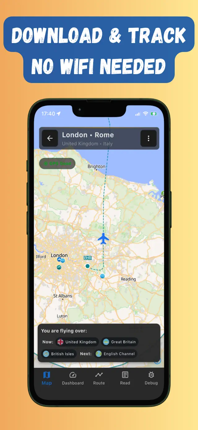
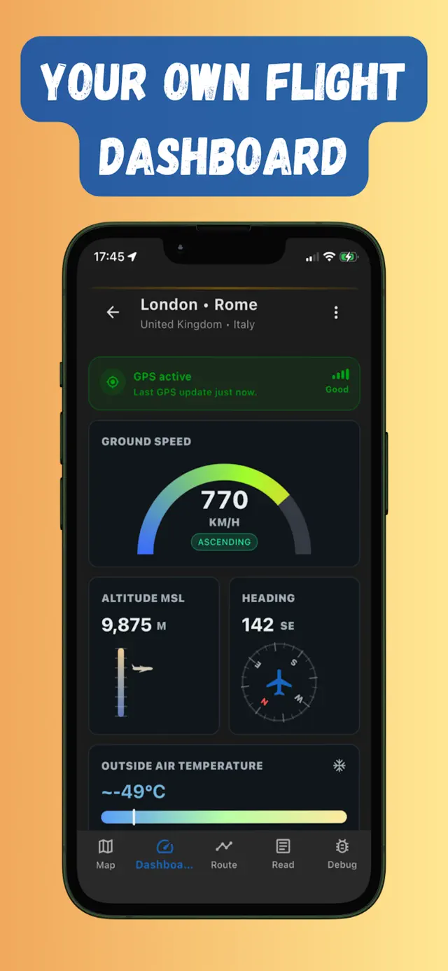
GPS keeps working without internet. Watch your plane cross the map with live speed and altitude, and see what you're flying over in real time.
Short answers here — full explanations in the FAQ and guides.
Yes — GPS only receives satellite signals, so it keeps working with every radio off.
Learn more →Download your route before boarding; your phone's GPS moves the plane across the offline map.
Learn more →Flymap names the countries, mountains, lakes and coastlines under you as you cross them.
Learn more →Yes — everything runs on your own phone, on any airline, over any route.
Learn more →The web map is for quick route preview. Use the app when you want maps ready offline during the flight.


Flymap app