June 17, 2026
Brisbane to San Francisco: Across the Wide Pacific
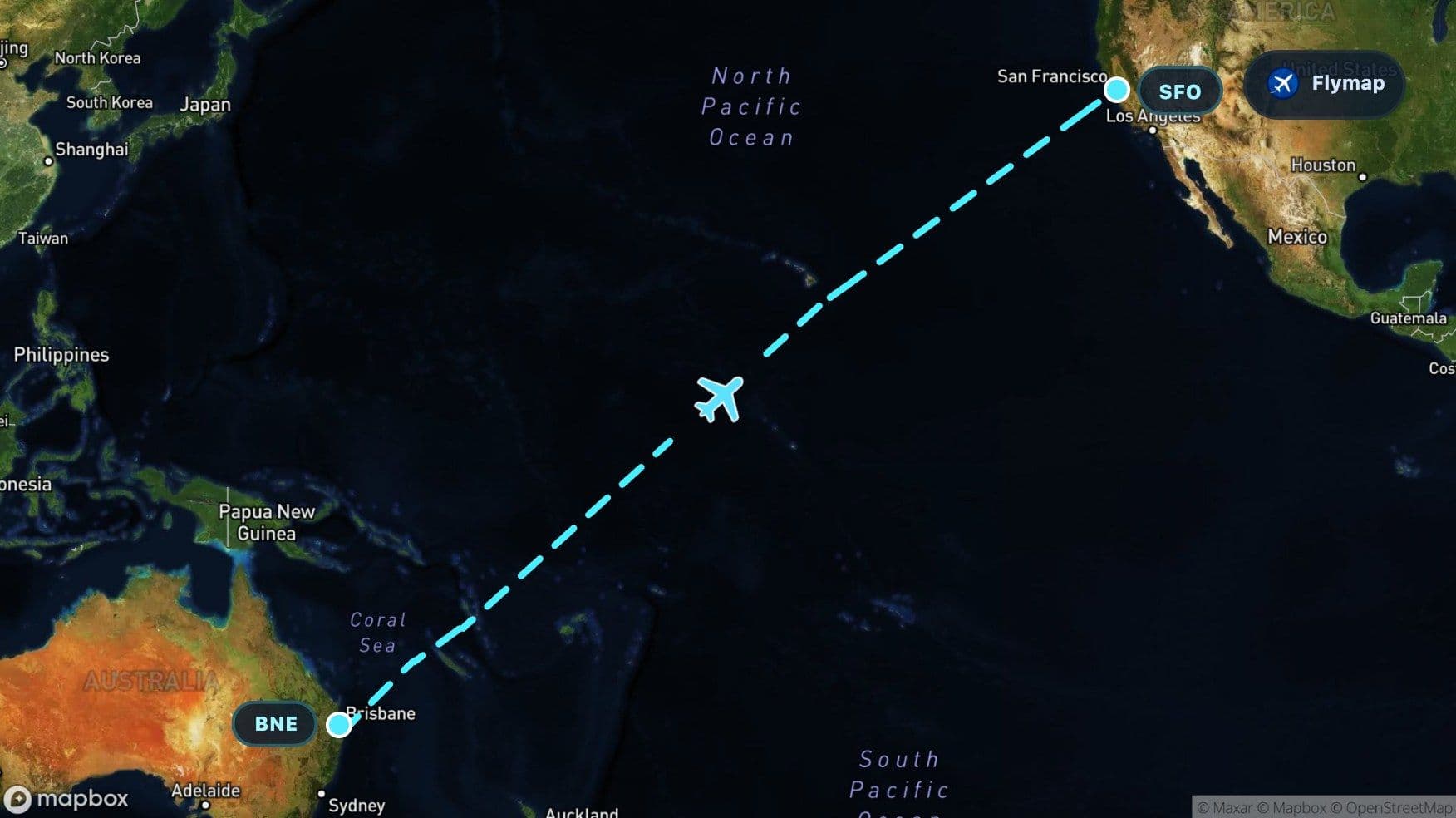
See what you may fly over from Brisbane to San Francisco, including Australia, Coral Sea, Melanesia, New Caledonia and Vanuatu.
Distance
11,518 km
Timing
12h 05m
Countries
2 countries
 Brisbane
 Australia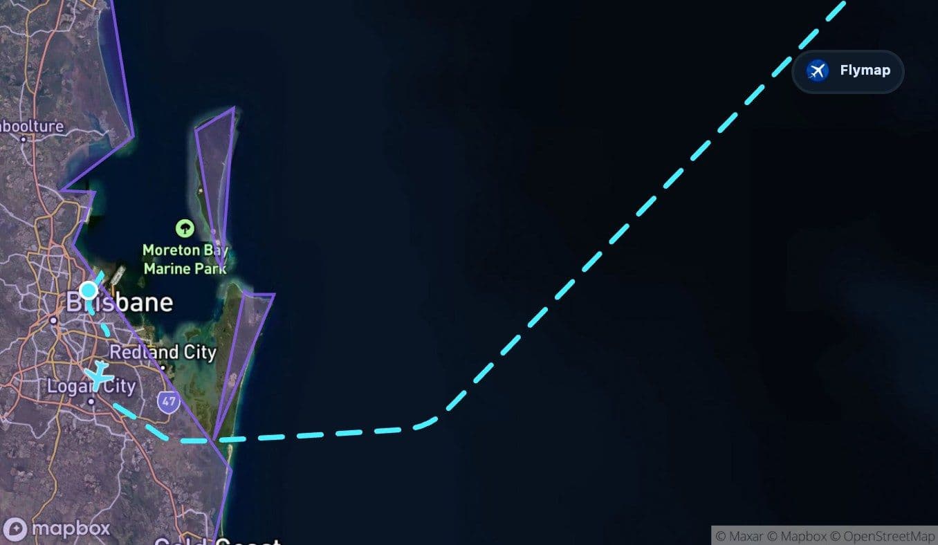
 Coral Sea
 Melanesia
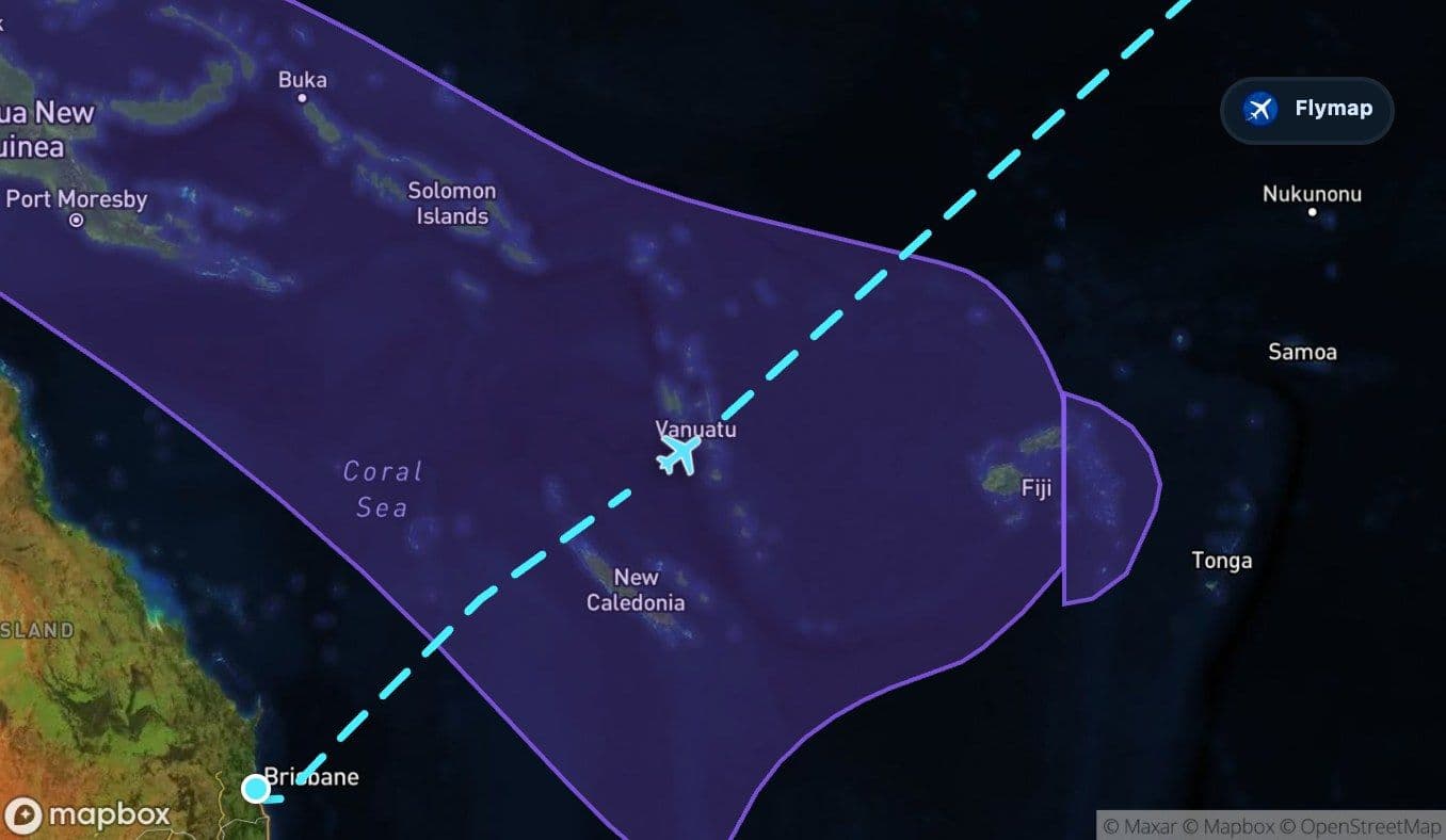 New Caledonia
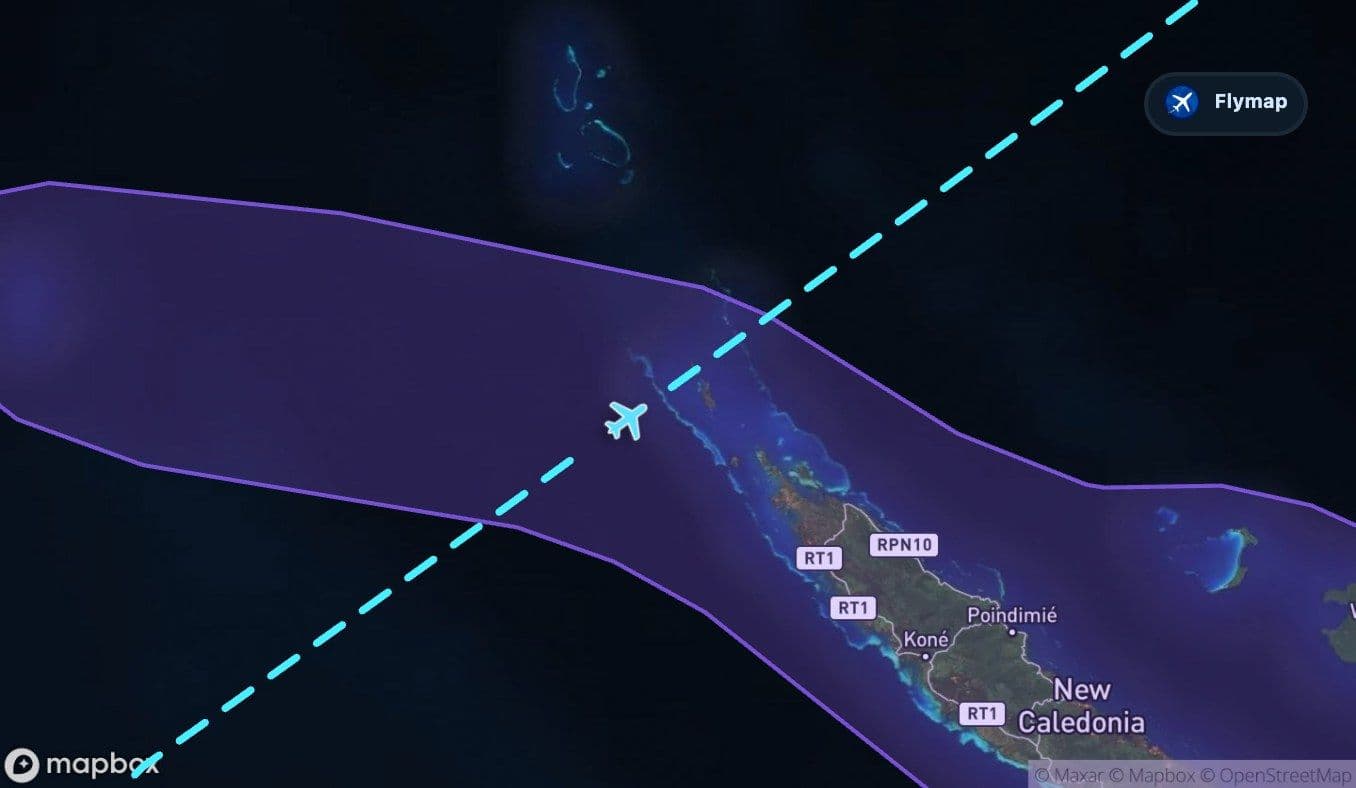 Vanuatu
 Pacific OceanPolynesia
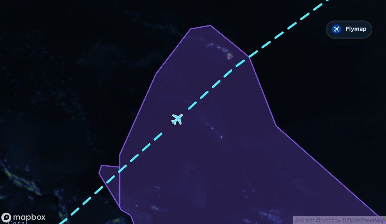 Tuvalu
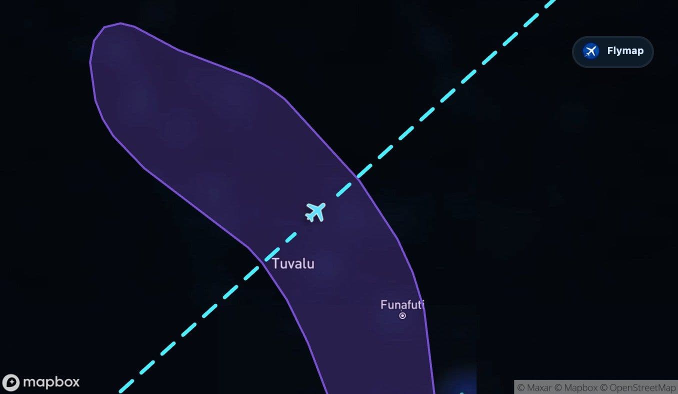 Kiribati
 United States of America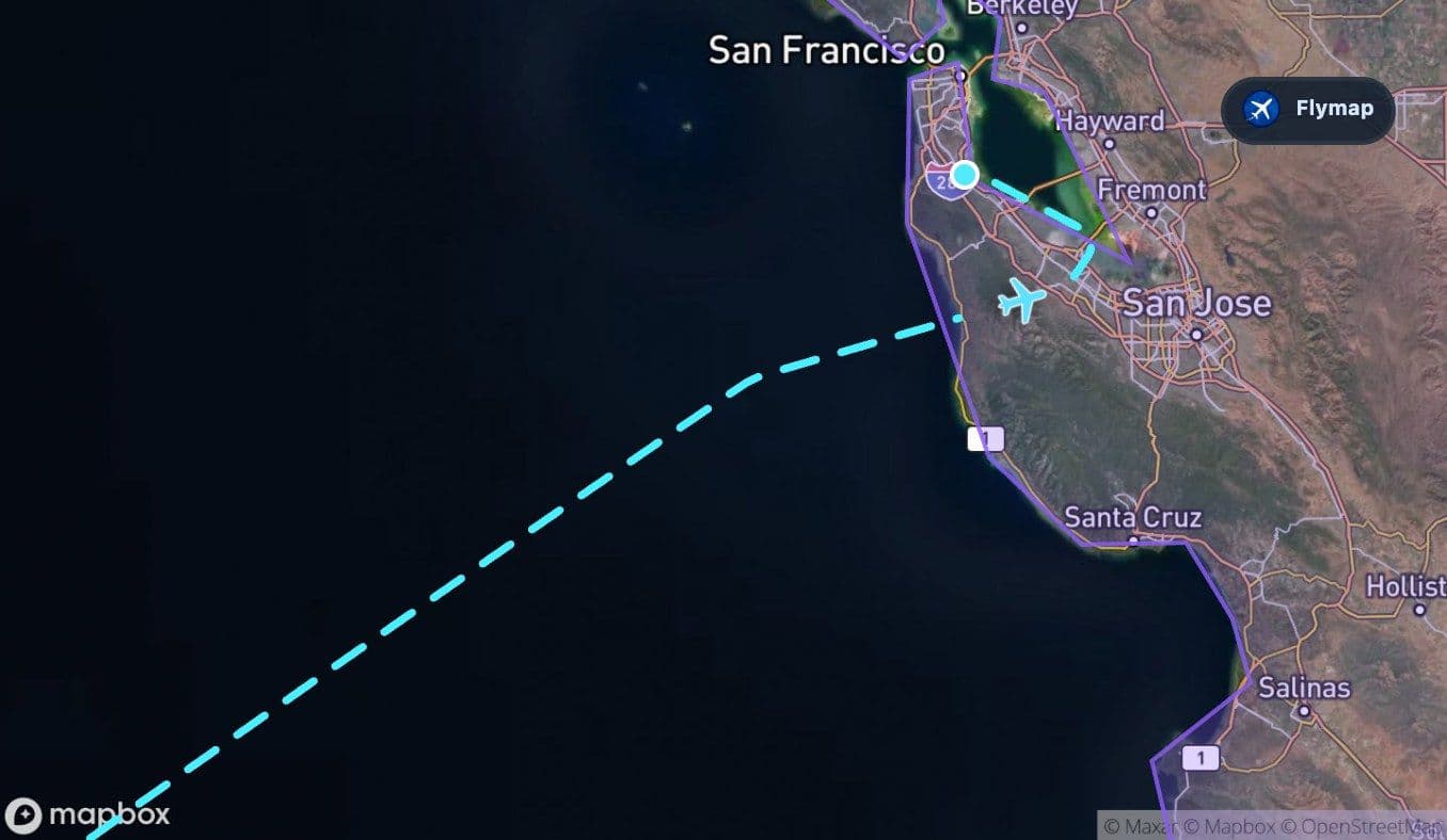
 Pacific Coast RangesSan Francisco
This Brisbane to San Francisco flight is defined by water almost immediately. After only a short departure over Australia, the route moves out across the Coral Sea, then into the immense Pacific Ocean. From the window, the journey can feel like a long blue crossing interrupted by rare island regions before the California coast finally appears.
Flymap helps make sense of that oceanic scale. When the view outside is mostly cloud, water and horizon, the route still has a geographic story: Coral Sea, Melanesia, Vanuatu, Polynesia, Kiribati, then the Pacific Coast Ranges near San Francisco.
Out of Brisbane, straight toward blue water
The land section at the start is brief. The aircraft departs Brisbane and quickly leaves Australia behind, with the coast, bays and river shapes of southeast Queensland giving way to open sea.
The first major feature is the Coral Sea, a warm Pacific basin east of Australia. It is a fitting opening for this route because it immediately changes the view from coastal city geography to long-distance ocean crossing.
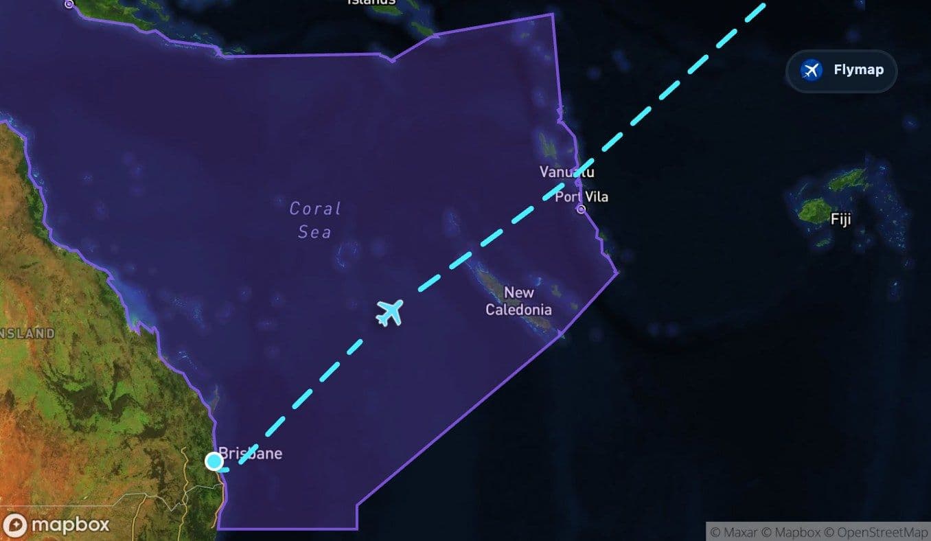
If the sky is clear, passengers may notice the coastline dropping away and the water becoming the dominant surface below. This is the first threshold: after Brisbane, there is no long continental overflight. The flight becomes maritime almost at once.
The Coral Sea sets the pattern
The Coral Sea section is long enough to establish the rhythm of the flight. There may be no single dramatic landmark visible from every seat, but the geography is important: this is the western edge of the Pacific crossing, close to island and reef regions east of Australia.
From the cabin, the view may alternate between blue water, cloud decks, cloud shadows and occasional breaks where the sea surface shows through. This is where Flymap becomes useful not just for naming places, but for understanding why the route feels so empty and expansive.
On this flight, emptiness is part of the geography. The Pacific is not a gap between landmarks; it is the main landmark.
Island regions in the early Pacific
Beyond the Coral Sea, the route enters the wider island geography of Melanesia. The track passes through regions associated with New Caledonia and Vanuatu, where islands and coral archipelagos rise from deep ocean.
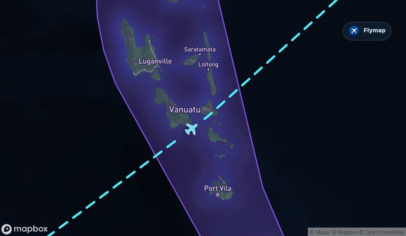
Vanuatu is especially important as a visual possibility because it is a chain of volcanic islands. From above, these islands can appear as dark shapes in a huge blue field, sometimes ringed or edged by lighter water near reefs and shallows. Visibility, seat side and daylight matter a lot here, so the islands may be obvious on the map even when clouds hide them outside.
This part of the route is still early in the wider Pacific crossing, but it gives the journey a different feeling from a pure ocean flight: scattered islands, then open water again.
The Pacific becomes the whole route
After the southwest Pacific island regions, the Pacific Ocean dominates almost everything. This is the longest and most defining section of the journey, stretching across deep ocean far from continental land.
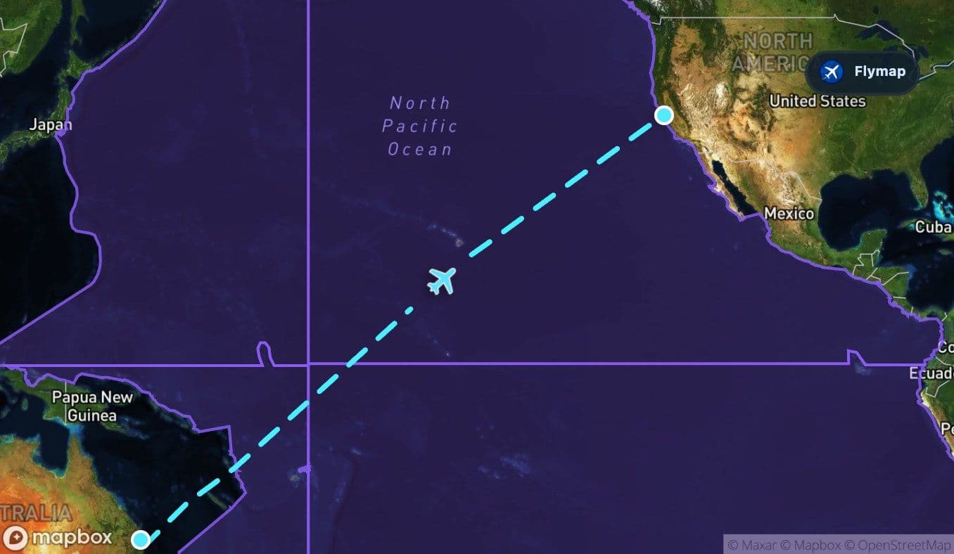
For passengers, the view can be simple for long periods. But the scale is the point. The aircraft is crossing the world’s largest ocean, moving through a space where islands are small, distances are huge, and the route line matters more than visible land.
The most common window clues are subtle:
- cloud streets or broad cloud sheets over the ocean,
- sunlight reflecting off water through breaks in cloud,
- long periods with no land in sight,
- occasional island regions appearing on the map before they are visible outside.
Polynesia, Tuvalu and Kiribati: scattered points in a vast ocean
Farther along, the route passes through Polynesia and near the archipelago regions of Tuvalu and Kiribati. These names are useful because they show how the flight crosses not just empty water, but one of the world’s great island regions.
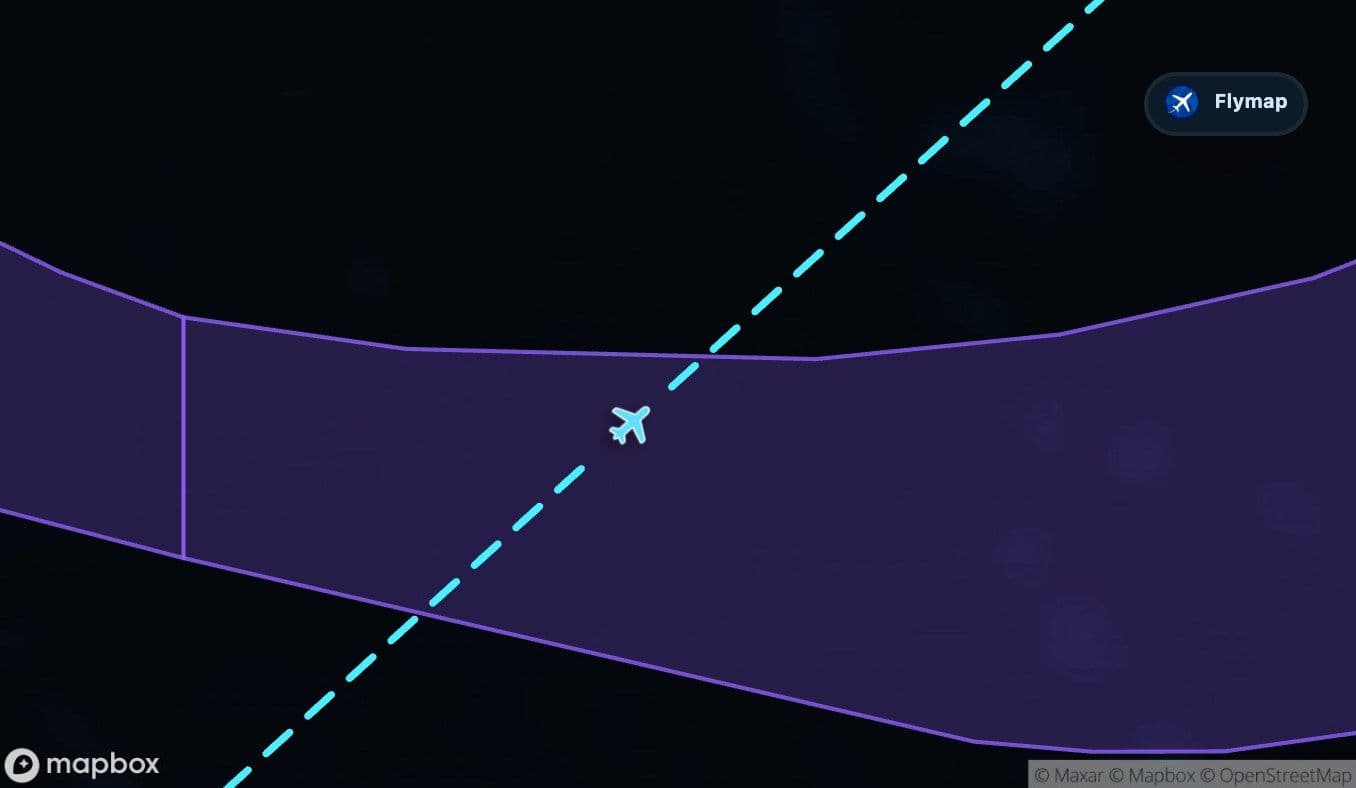
Tuvalu is described on this route as low coral atolls, where narrow land strips rise just above the ocean. Kiribati is a widely scattered Pacific archipelago with coral atolls extending across both sides of the equator. From cruising altitude, such places may be difficult to spot unless conditions are excellent, but on the map they reveal the hidden structure of the crossing.
This is one of the best examples of why an in-flight map can change the experience: the view may look like endless Pacific, while the route is actually passing through island geographies with very different forms.
The long wait for California
After the island regions, the route continues across open ocean toward North America. This is the part where the flight can feel most suspended: hours of water, then finally the approach toward the United States and the California coast.
The first landfall near arrival is brief in the route data, but meaningful. The aircraft reaches the United States and the Pacific Coast Ranges close to San Francisco. After so much ocean, even a short section of land can feel visually sharp.
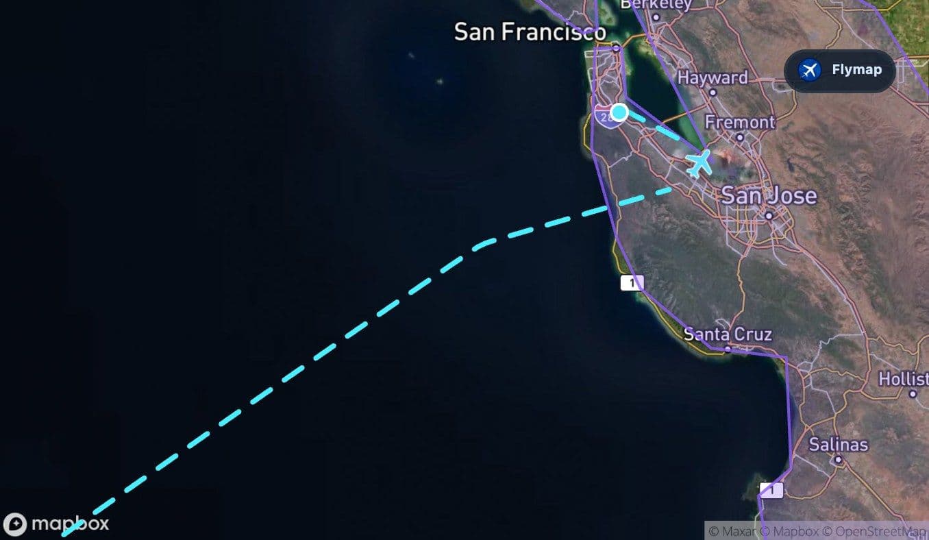
The Pacific Coast Ranges mark the final terrain change: ocean to coastal mountains, then the Bay Area. Depending on approach direction, the view may include coastal hills, the San Francisco Peninsula, bay waters, islands or the urban edge around the airport.
San Francisco after the ocean
The arrival into San Francisco is the route’s final contrast. Brisbane disappears quickly into the Coral Sea, but San Francisco appears only after a massive ocean crossing. The destination is not just another coastal city; it is the moment land returns.
Near the end, passengers may be able to pick out pieces of the Bay Area landscape: San Francisco Bay, coastal ridges, islands such as Alcatraz or Angel Island in the wider region, and the built-up peninsula around the airport. The exact view depends on weather and approach path, but the feeling is consistent: after the Pacific, the coast arrives suddenly.
Route summary
- The flight leaves Brisbane and quickly enters the Coral Sea.
- Melanesia, New Caledonia and Vanuatu add island geography early in the Pacific crossing.
- The Pacific Ocean is the dominant feature for most of the route.
- Polynesia, Tuvalu and Kiribati show how scattered island regions sit within the wider ocean crossing.
- Near San Francisco, the route reaches the United States and the Pacific Coast Ranges after a long ocean approach.
*Data based on a historical route track for UA97.
Route Gallery (11 images)
Download this or any other flight map in Flymap app
Open Flymap on your phone for app-store download links and offline-ready flight maps.


Flymap app