June 8, 2026
London to New York: The Long Atlantic Build-Up to Long Island
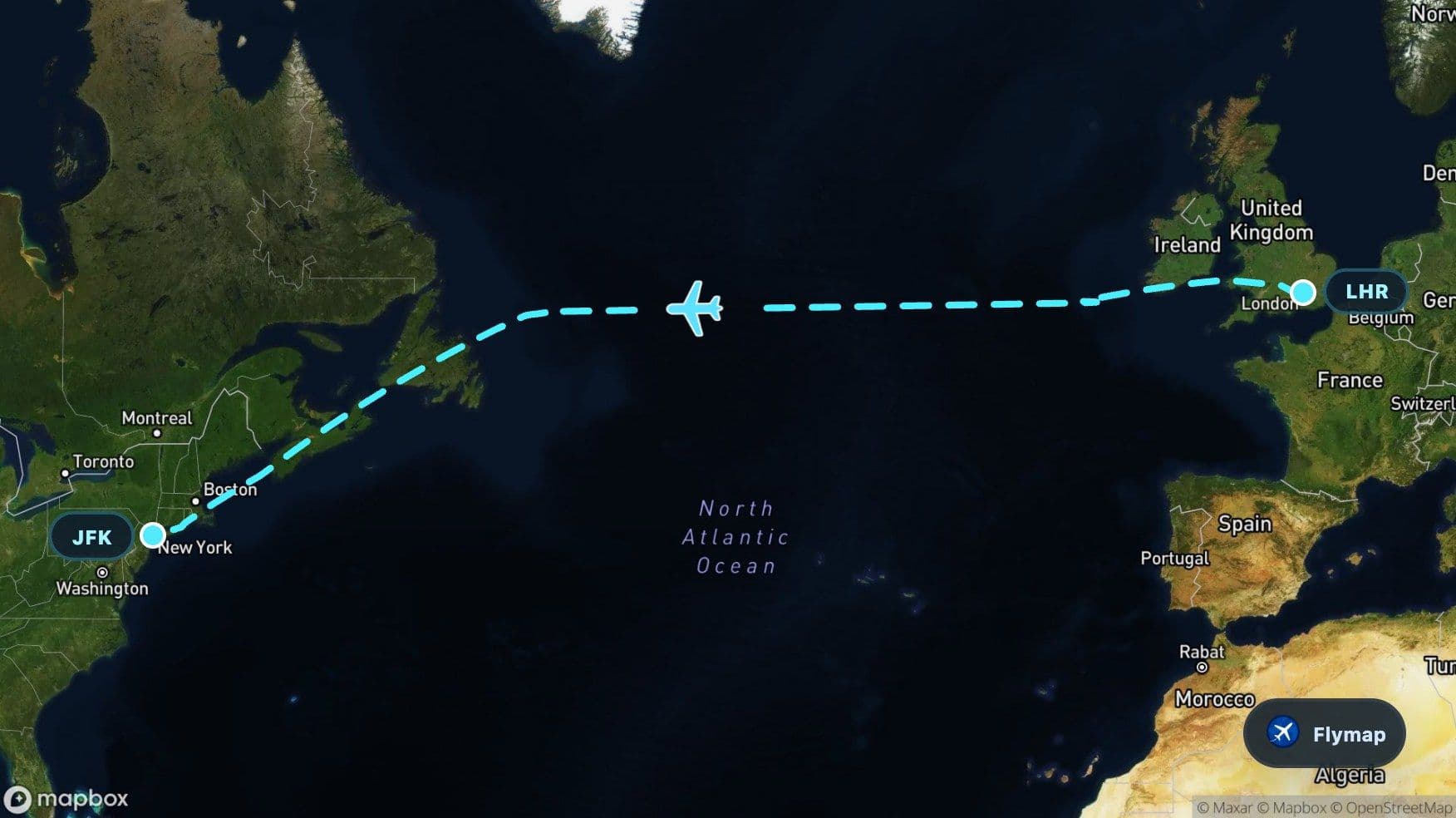
See what you may fly over from London Heathrow to John F Kennedy, including United Kingdom, British Isles, Great Britain, Cambrian Mountains and Irish Sea.
Distance
5,648 km
Timing
6h 45m
Countries
4 countries
 London Heathrow
 United Kingdom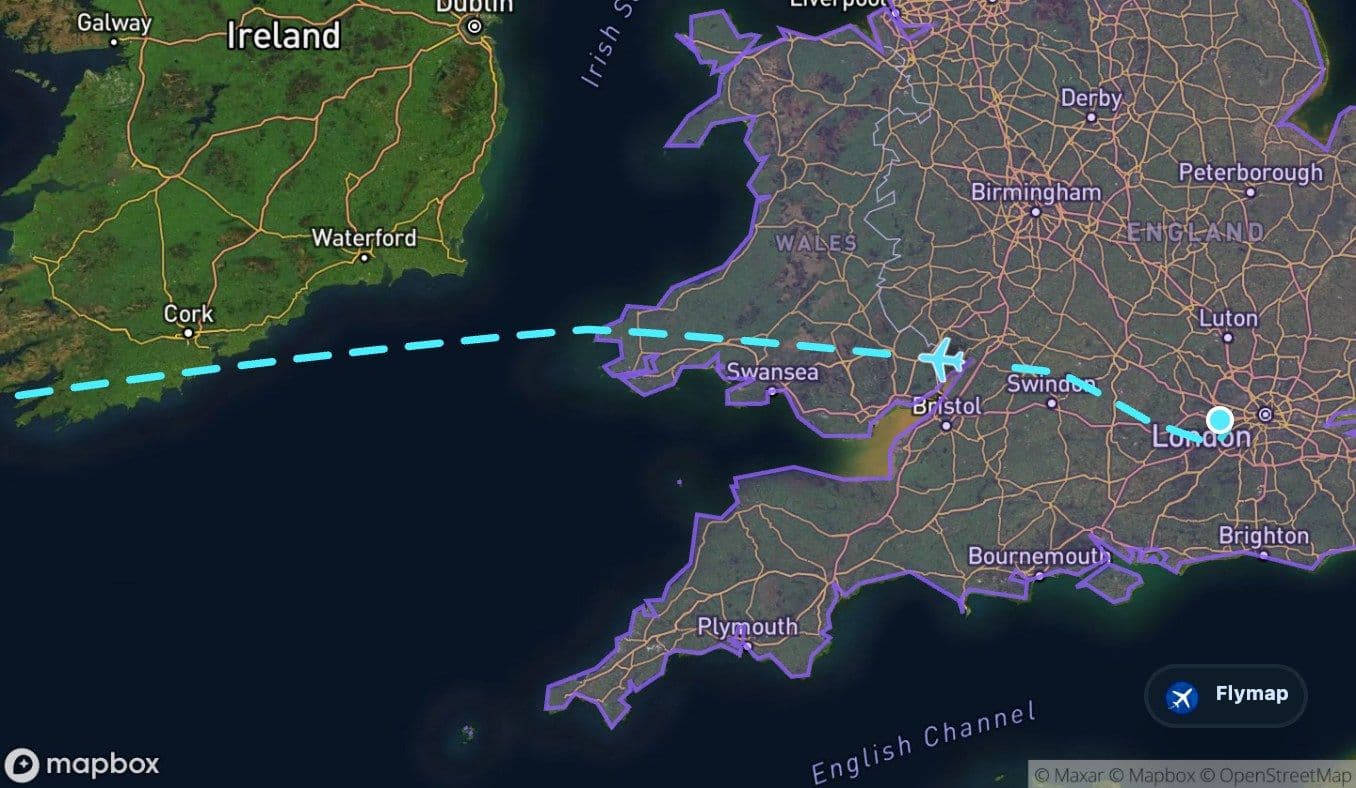
 British Isles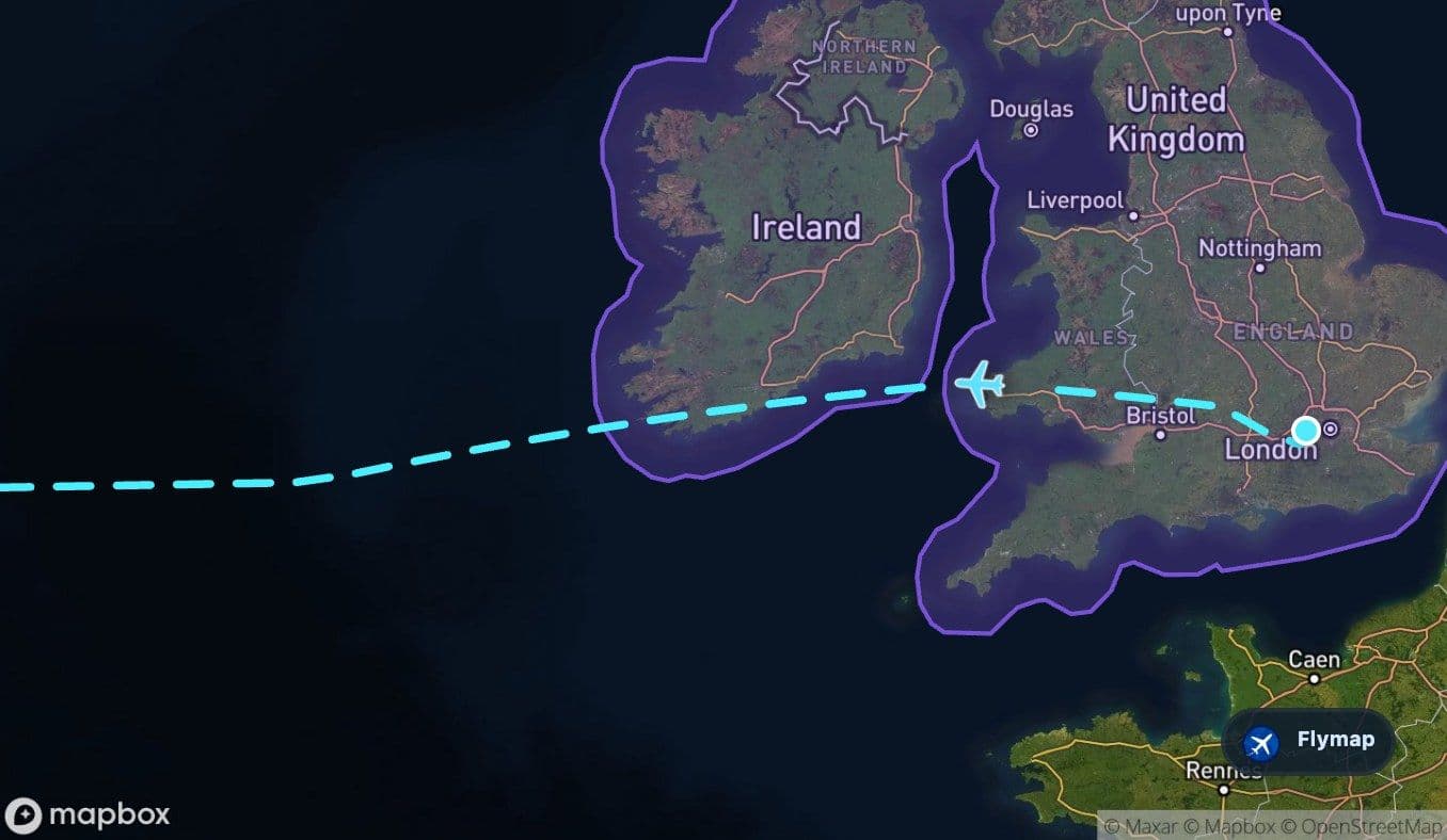
 Great Britain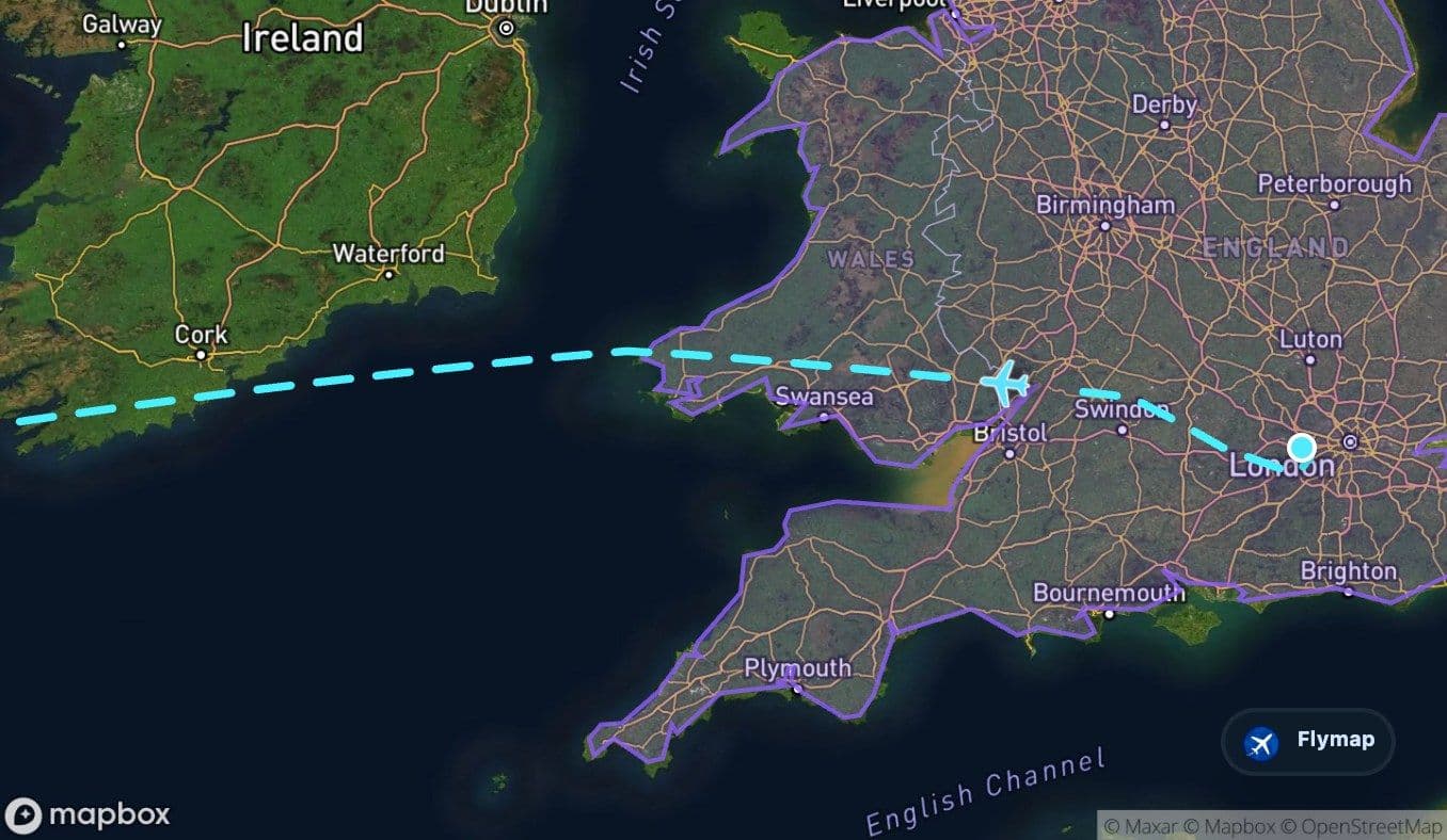
 Cambrian Mountains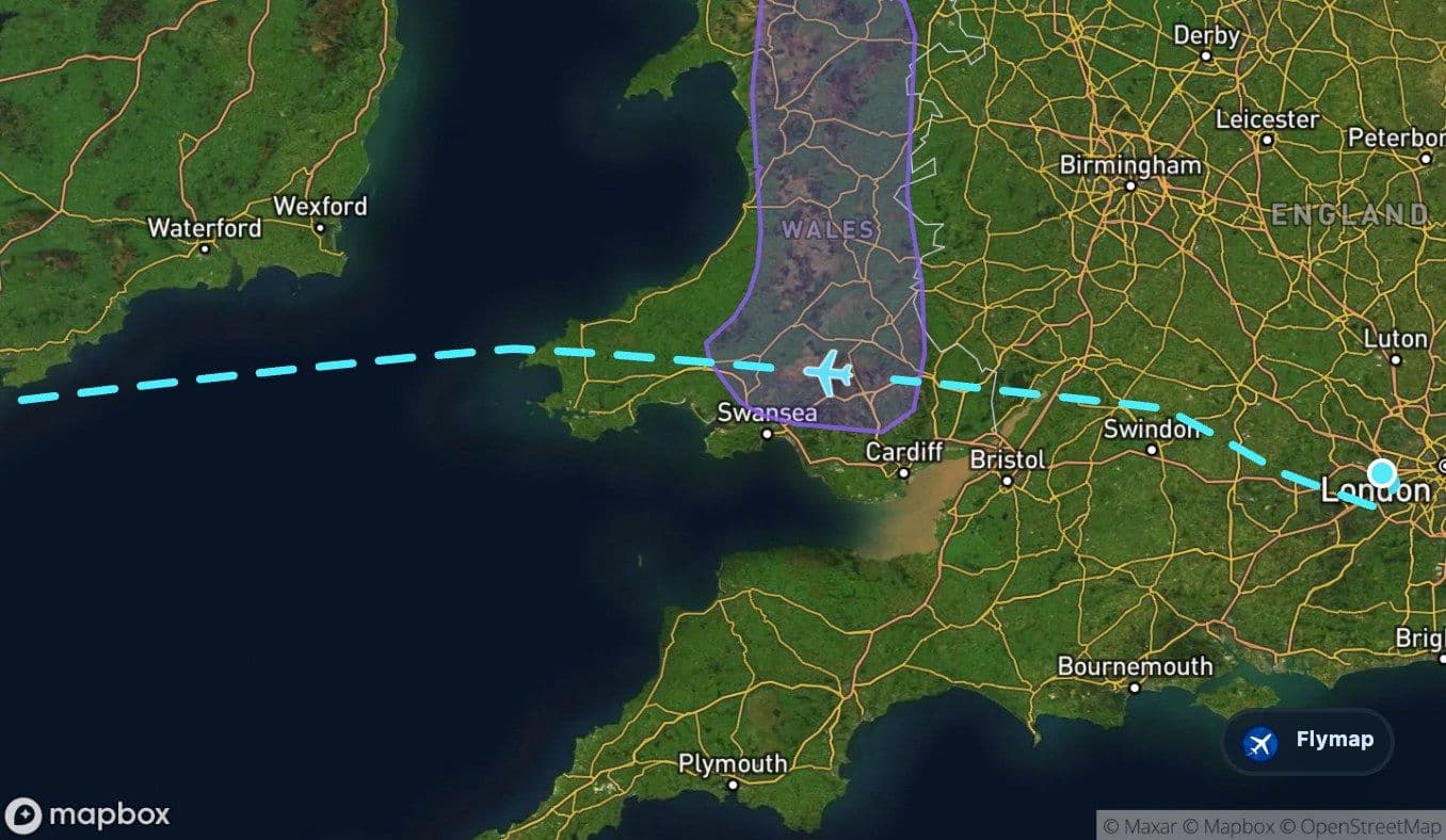
 Irish Sea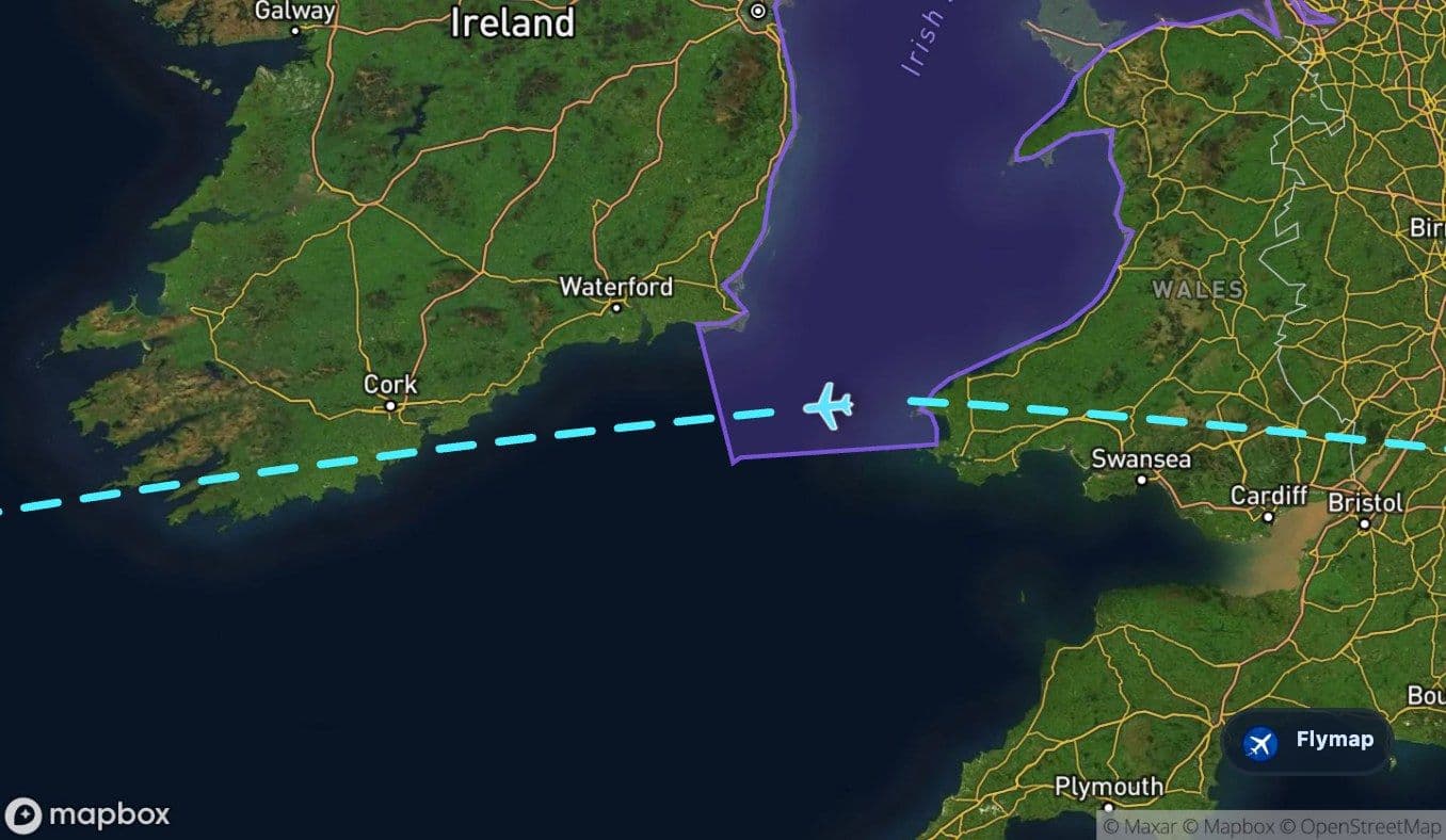
 Atlantic Ocean
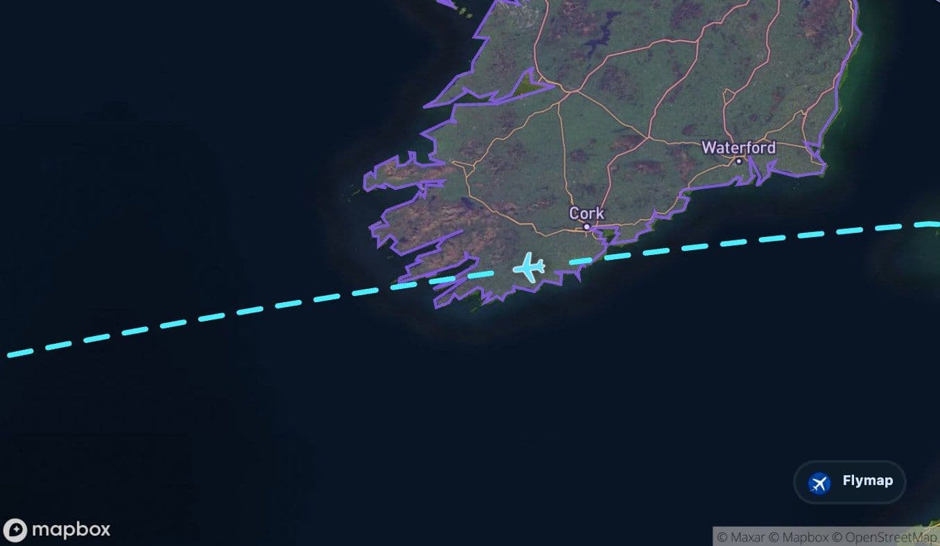
 Ireland
 IrelandLabrador Sea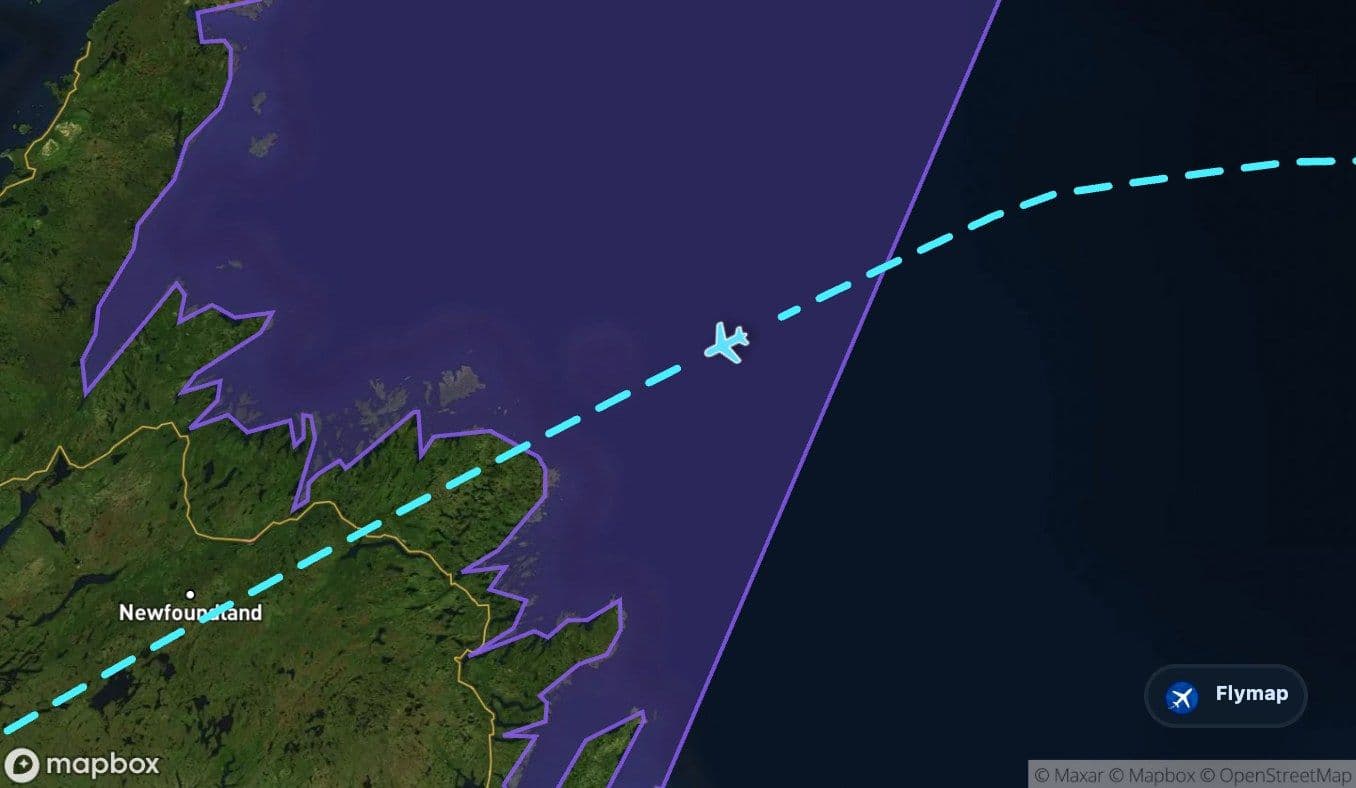
 Canada
 Newfoundland
 Gulf of Saint Lawrence
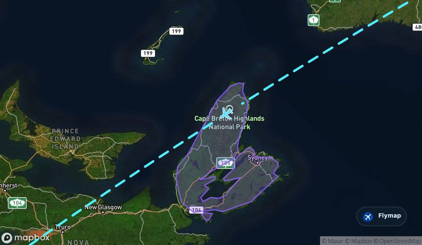
 Cape Breton Island
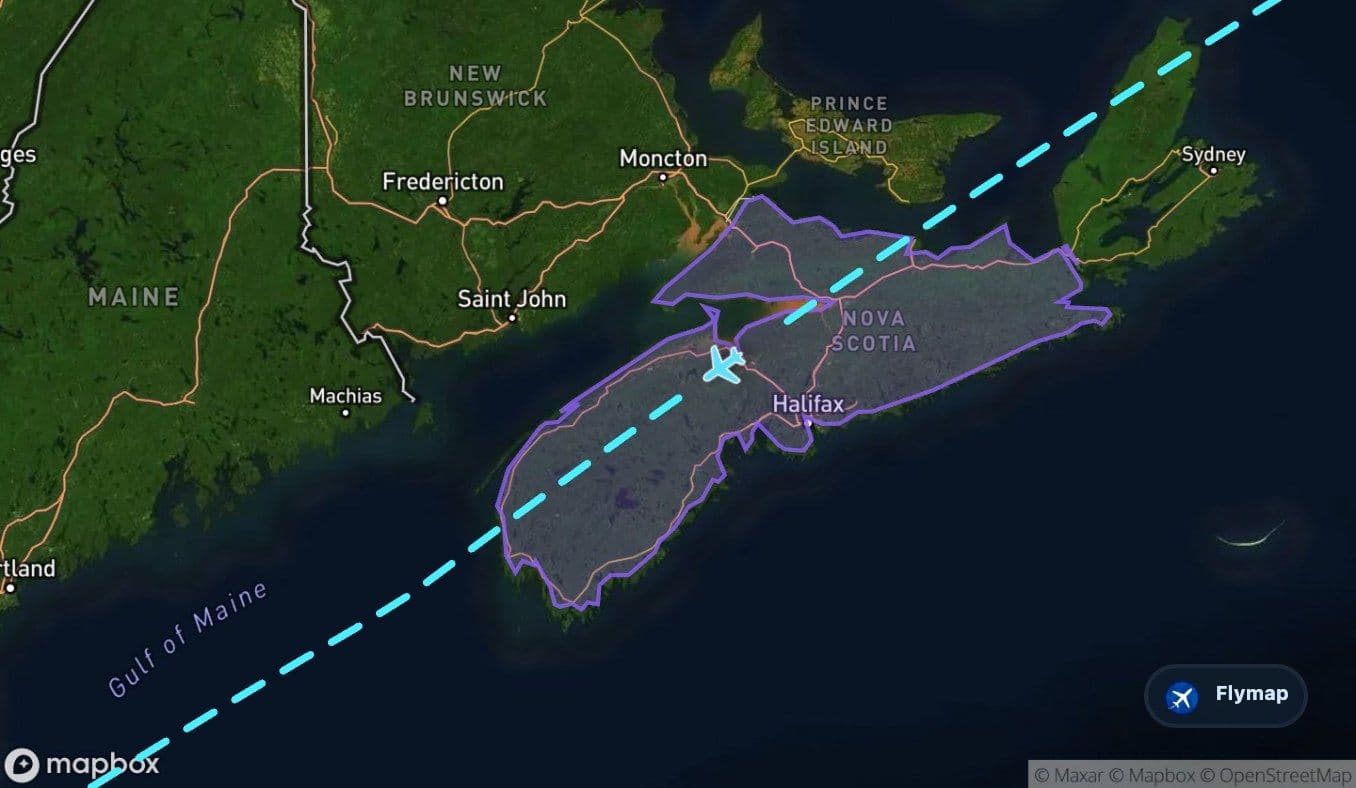
 Nova Scotia
 Gulf of Maine
 Massachusetts Bay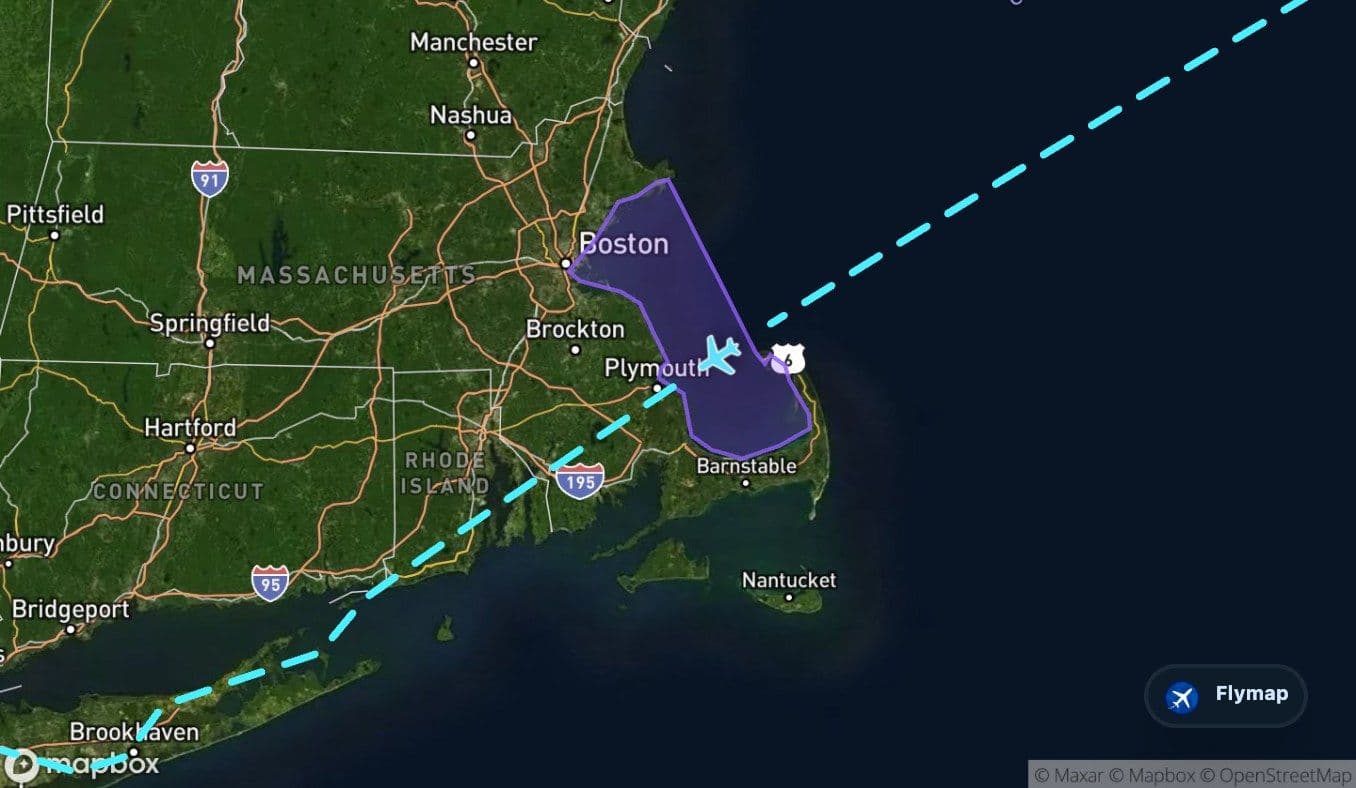
 United States of America
 Long IslandJohn F Kennedy
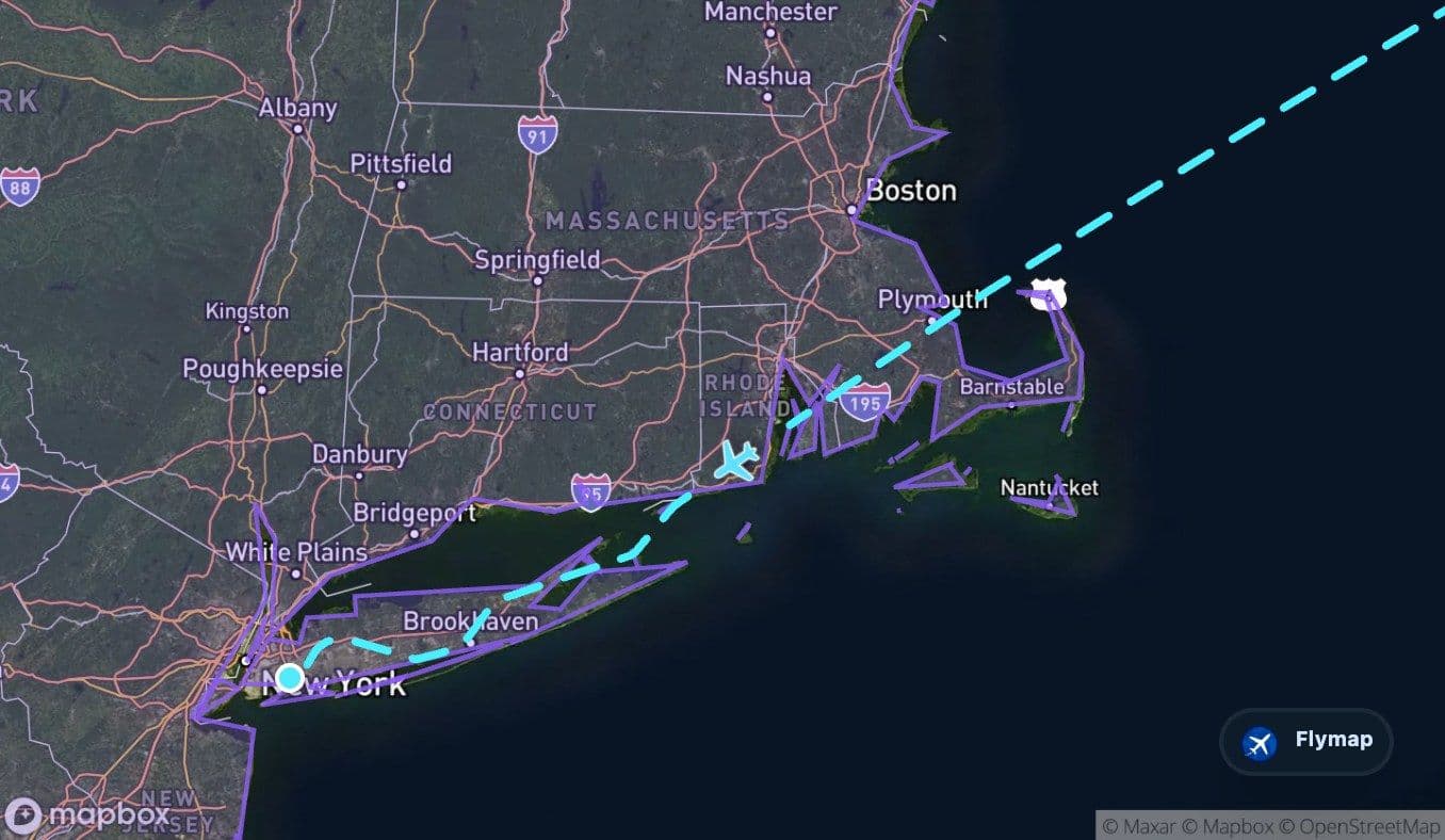
This flight is really building toward one final image: Long Island appearing after hours of ocean, a narrow Atlantic island that signals New York is close. From London, the route first crosses the western side of Britain and Ireland, then spends its long middle section over the North Atlantic before North America begins to assemble below: Newfoundland, the Gulf of Saint Lawrence, Nova Scotia, the Gulf of Maine, and finally the New York approach. Flymap makes that slow reveal easier to follow, especially when the window view alternates between clouds, sea and sudden coastlines.
The destination starts as a coastline, not a skyline
For many passengers, the emotional moment is not the first glimpse of Manhattan. On this route, the destination-side geography begins earlier, when the aircraft reaches the chain of Atlantic-facing landforms that lead toward New York: Newfoundland, the Canadian Maritimes, New England waters and then Long Island.
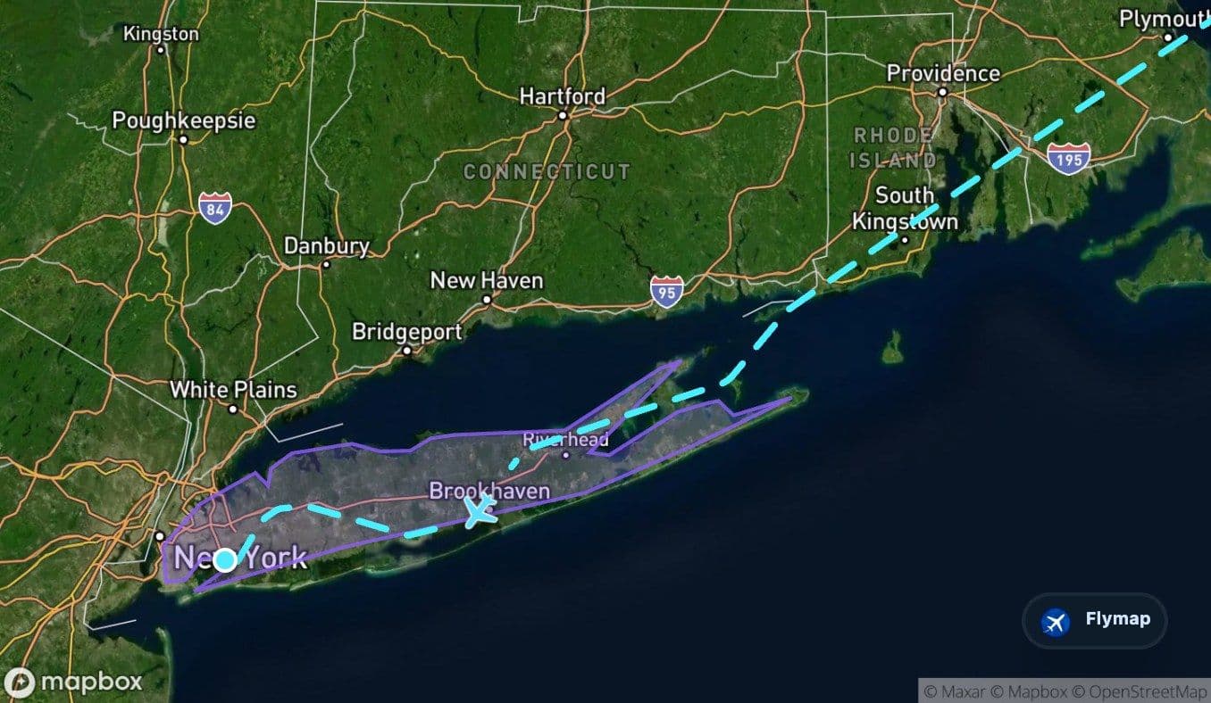
Long Island is the most important arrival-side feature on the route. It is described as a long, narrow island along the Atlantic coast, with sandy shores and lowlands beside a shallow continental shelf. Near the end of the flight, that geography matters because JFK sits on Long Island’s western end. From above, the island can read as a low strip between ocean, bays and the dense urban region around New York.
The route’s nearby point-of-interest set also includes New York, Liberty Island, Ellis Island, Roosevelt Island and Fire Island. Not all of these will be visible on a given approach, and visibility depends heavily on weather, runway direction and seat side. But the broad arrival story is clear: after a transatlantic crossing, the aircraft returns to land through islands, bays and coastal lowlands rather than a sudden inland descent.
Before New York, the Atlantic has to narrow
The middle of the flight is dominated by the Atlantic Ocean. This is the long quiet chapter: deep water below, little obvious reference from the window, and a route that can feel visually simple even though it is crossing one of the world’s major ocean basins.
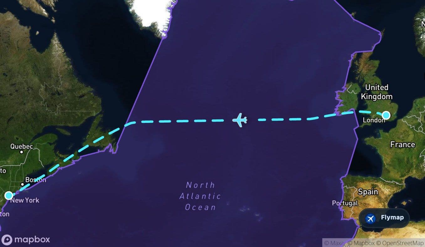
In the route data, the Atlantic is by far the longest region crossed. It separates the British Isles from North America and forms the main geographic reason this flight feels different from a shorter European route. From the cabin, passengers may see only cloud tops, open water, or darkness depending on season and timing.
The moving map matters most when the view looks empty: it shows that the aircraft is not just crossing “the ocean”, but moving through a sequence of named seas, gulfs and coastal thresholds.
After the open Atlantic, the route reaches the Labrador Sea area before Canada appears. That shift from ocean to North American land is the first major sign that the destination side is beginning.
Newfoundland: the first hard edge of North America
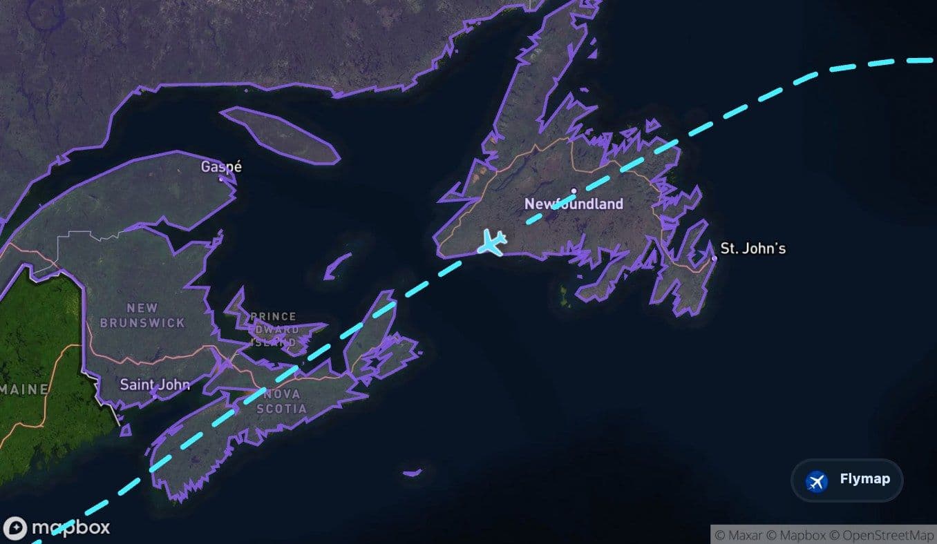
Newfoundland is the first major North American land region along this track. It is a large North Atlantic island with rugged coasts, inland plateaus, forested areas and terrain shaped by glacial history. From above, it can appear as a dark, irregular landmass after a long stretch of water.
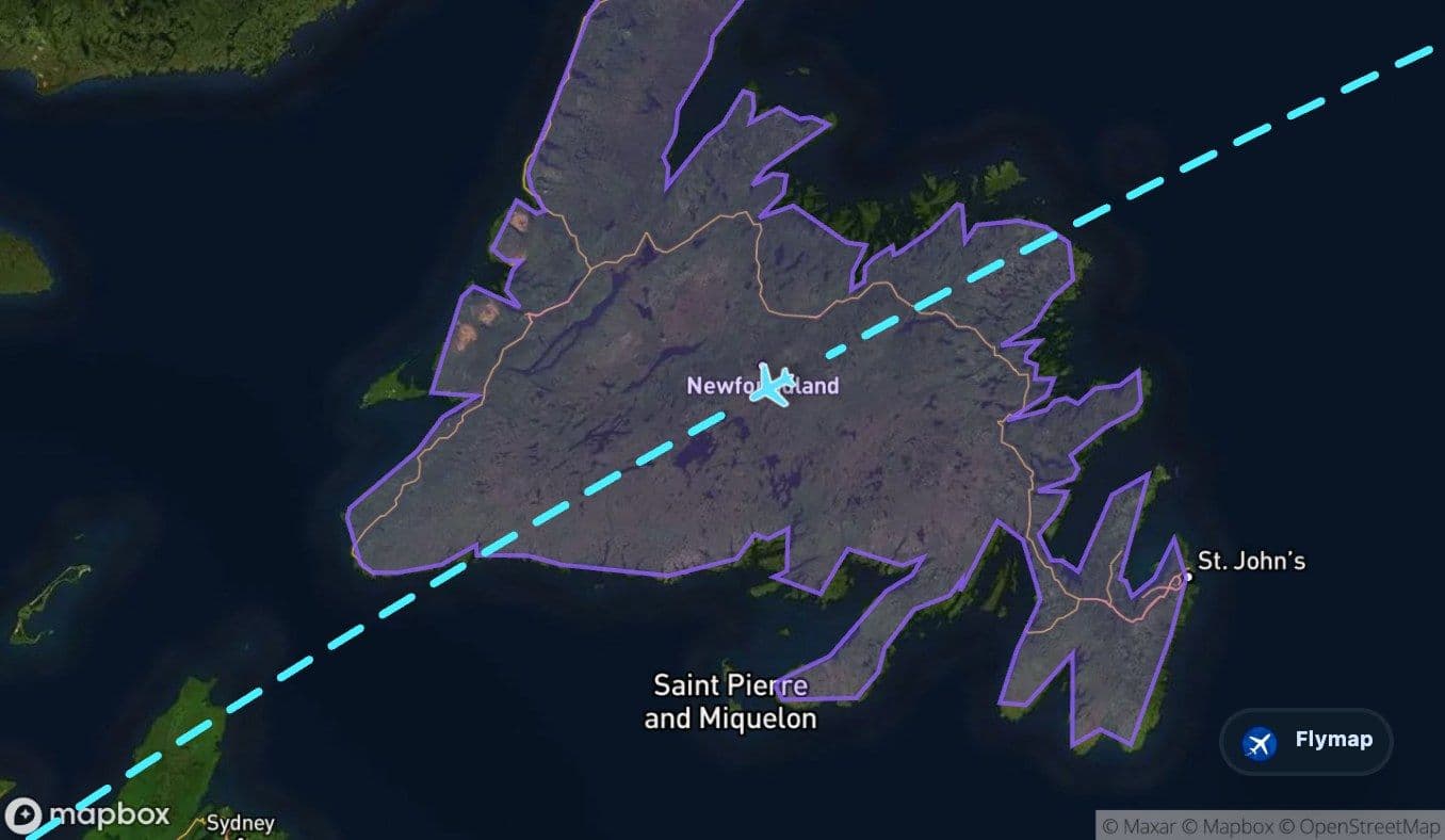
The route’s point-of-interest list includes Newfoundland, Gander Lake, Grand Lake, Terra Nova National Park, Gander and Gander International Airport. These references fit the character of this section: lakes, forests, coastlines and a strong aviation geography on the western side of the Atlantic.
This part of the flight is not yet “New York”, but it changes the rhythm. The aircraft has crossed the ocean’s main gap and is now following the North American edge south-westward through Canada’s Atlantic region.
Canada’s maritime stepping stones
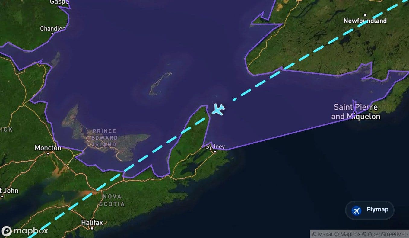
After Newfoundland, the route crosses the Gulf of Saint Lawrence and passes through the wider Canadian maritime region, including Cape Breton Island and Nova Scotia. These are not just labels on a map; they are the stepping stones between the remote Atlantic crossing and the more familiar northeastern United States.
A few window-seat cues to watch for, when clouds allow:
- rugged island coasts around Newfoundland and Cape Breton Island
- broad water surfaces in the Gulf of Saint Lawrence
- forested and indented coastal landscapes across Nova Scotia
- islands and bays that make the route feel coastal again after the open Atlantic
The journey also includes Prince Edward Island, Saint Pierre and Miquelon, Cape Breton Highlands National Park, the Bay of Fundy and several maritime rivers within the wider point-of-interest set. Some may be far from the precise track, but together they show why this region can look broken and intricate from altitude: water, islands and peninsulas repeat again and again.
New England waters before the final turn
Before reaching New York, the route crosses the Gulf of Maine and passes near Massachusetts Bay. This is the final maritime transition before the United States and Long Island. It is a coastal zone of bays, capes and island groups rather than open ocean.
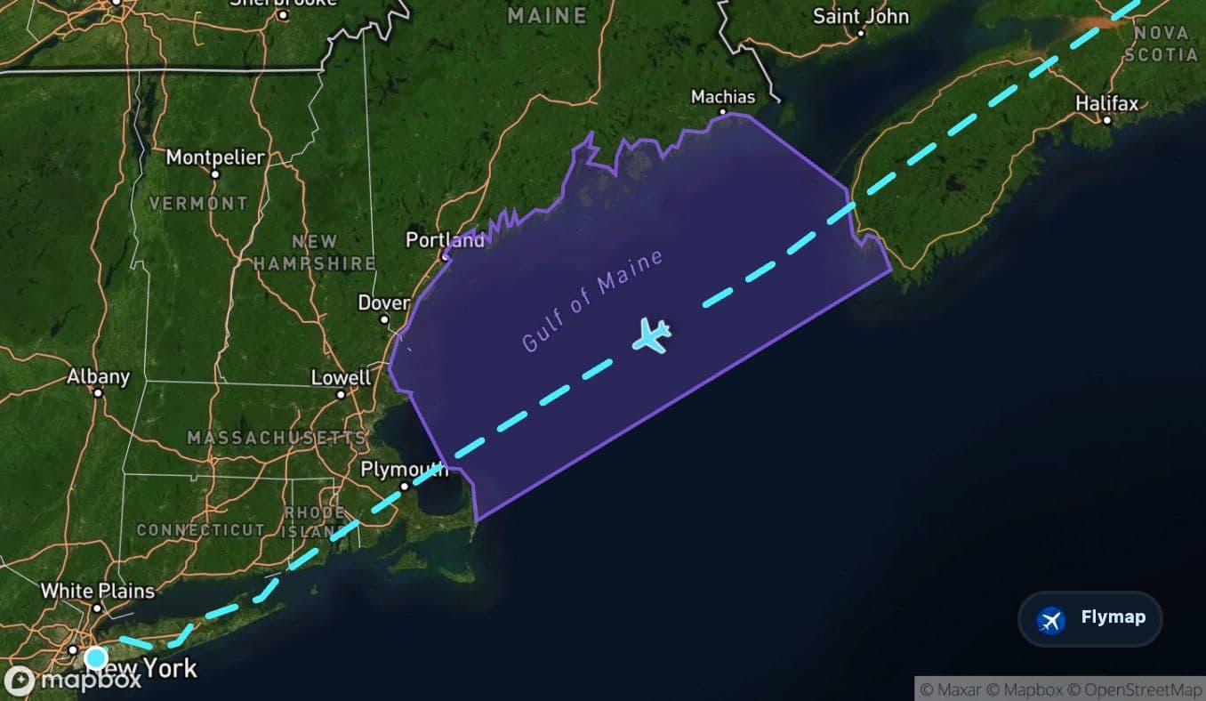
Nearby points of interest include Nantucket Island, Martha’s Vineyard, Mount Desert Island, Acadia National Park, Bar Harbor, Cape Cod Bay, Boston, Providence and parts of the wider New England coastline. Again, the exact view depends on track and cloud, but this section gives the approach a layered feeling: first Canada’s Atlantic edge, then New England waters, then the long island that leads to New York.
By the time Long Island comes into view, the flight has moved through several different kinds of coast: Britain’s western uplands and sea lanes, Ireland’s Atlantic side, the open ocean, Canadian island landscapes, New England bays and finally the low coastal geography around JFK.
Route summary
- The route leaves London Heathrow and crosses Great Britain, including the Cambrian Mountains and the Irish Sea region.
- Ireland appears early as part of the wider British Isles sequence before the long Atlantic crossing begins.
- The Atlantic Ocean is the dominant middle section, with the Labrador Sea marking the transition toward North America.
- Newfoundland, the Gulf of Saint Lawrence, Cape Breton Island and Nova Scotia form the Canadian arrival-side build-up.
- The final approach is shaped by the Gulf of Maine, Massachusetts Bay, the United States and Long Island before reaching New York JFK.
*Data based on a historical route track for BA117.
Route Gallery (18 images)
Download this or any other flight map in Flymap app
Open Flymap on your phone for app-store download links and offline-ready flight maps.


Flymap app