June 17, 2026
San Francisco to Seattle: The Cascade Volcano Run
See what you may fly over from San Francisco to Seattle–Tacoma, including California, Pacific Coast Ranges, San Francisco Bay, Central Valley and Cascade Range.
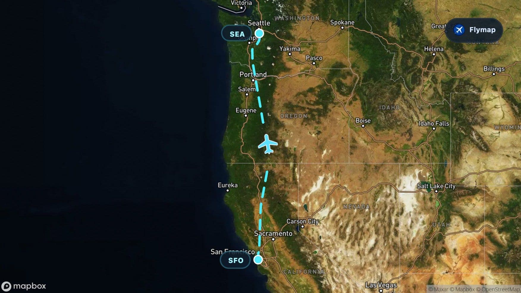
Distance
1,126 km
Timing
1h 35m
Countries
1 country
 San Francisco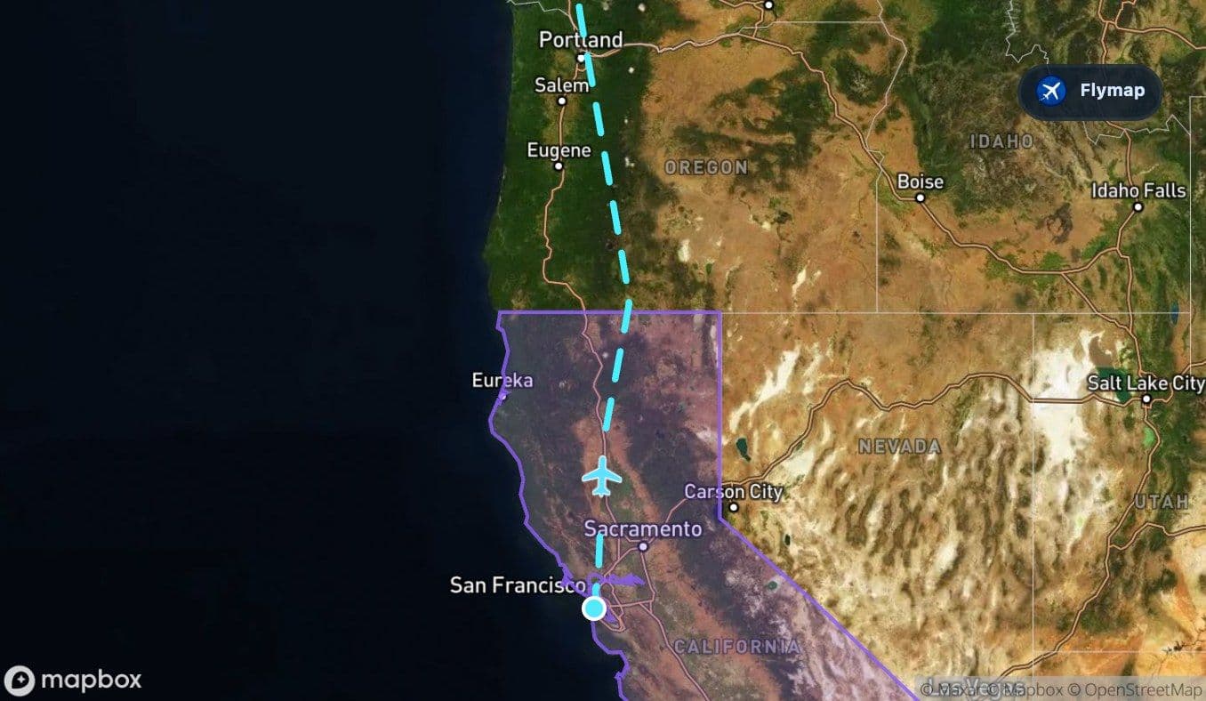
 Pacific Coast Ranges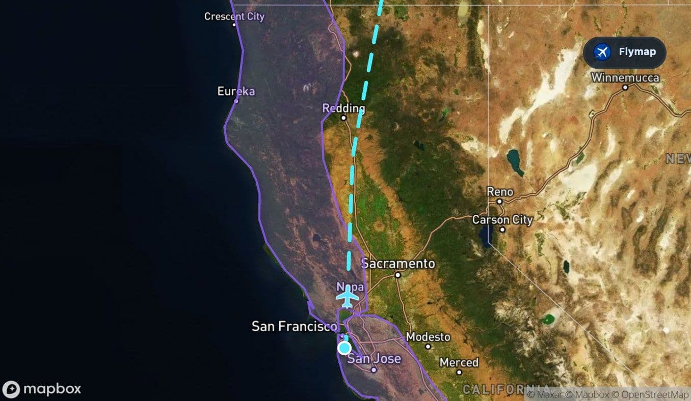
 San Francisco Bay
 Central ValleyCascade RangeSeattle–Tacoma
The San Francisco to Seattle flight is short, but it builds toward a big visual payoff: the Cascade Range. By the time the aircraft is nearing Washington, the route has traded the Bay Area’s water and urban edges for a long volcanic mountain spine, with landmarks such as Mount Shasta, Mount Hood, Mount Saint Helens and Mount Rainier sitting along the wider corridor.
Flymap helps you follow that change from the window, especially because this route can move from bay to valley to mountains quickly.
The destination is hiding in the mountains
Seattle’s arrival is not just a city approach. It is an approach into a region framed by water, forests and mountains. The route data shows the Cascade Range as the longest and most important geographic feature on this flight, stretching across much of the journey after northern California.
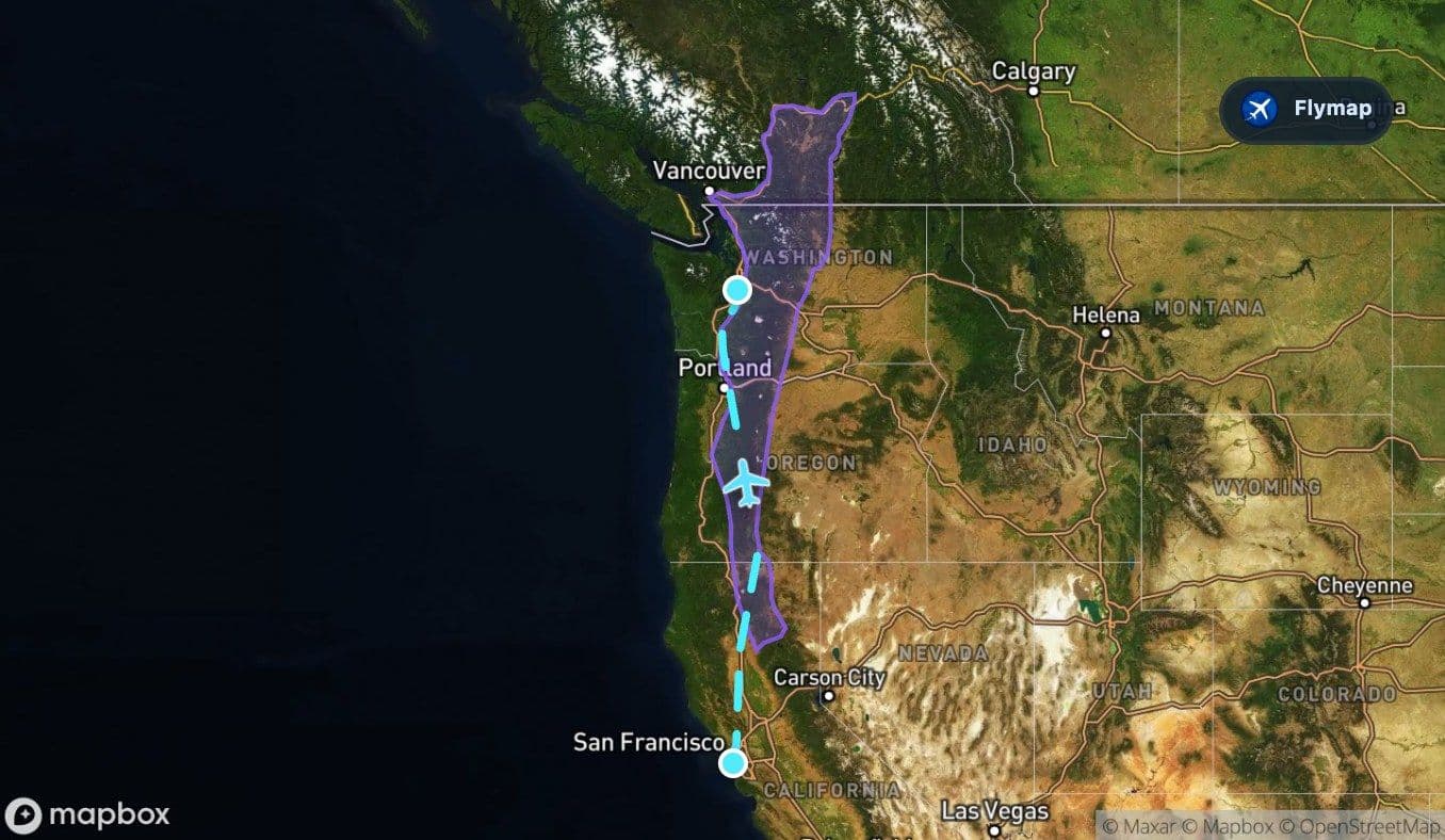
From above, the Cascades can feel like a chain of clues leading north. Snow-capped volcanic peaks may appear as isolated white cones or ridges above darker forested terrain. On a clear day, the later part of the flight can feel less like a simple city-to-city hop and more like a guided pass along the volcanic edge of the Pacific Northwest.
The strongest view on this route is not one single city. It is the mountain chain that leads you toward Seattle.
The Bay Area leaves quickly, but it leaves a mark
Soon after takeoff, San Francisco Bay can be one of the clearest early landmarks. The aircraft starts near a complex coastal estuary where water, bridges, islands, mudflats and shoreline cities sit close together.
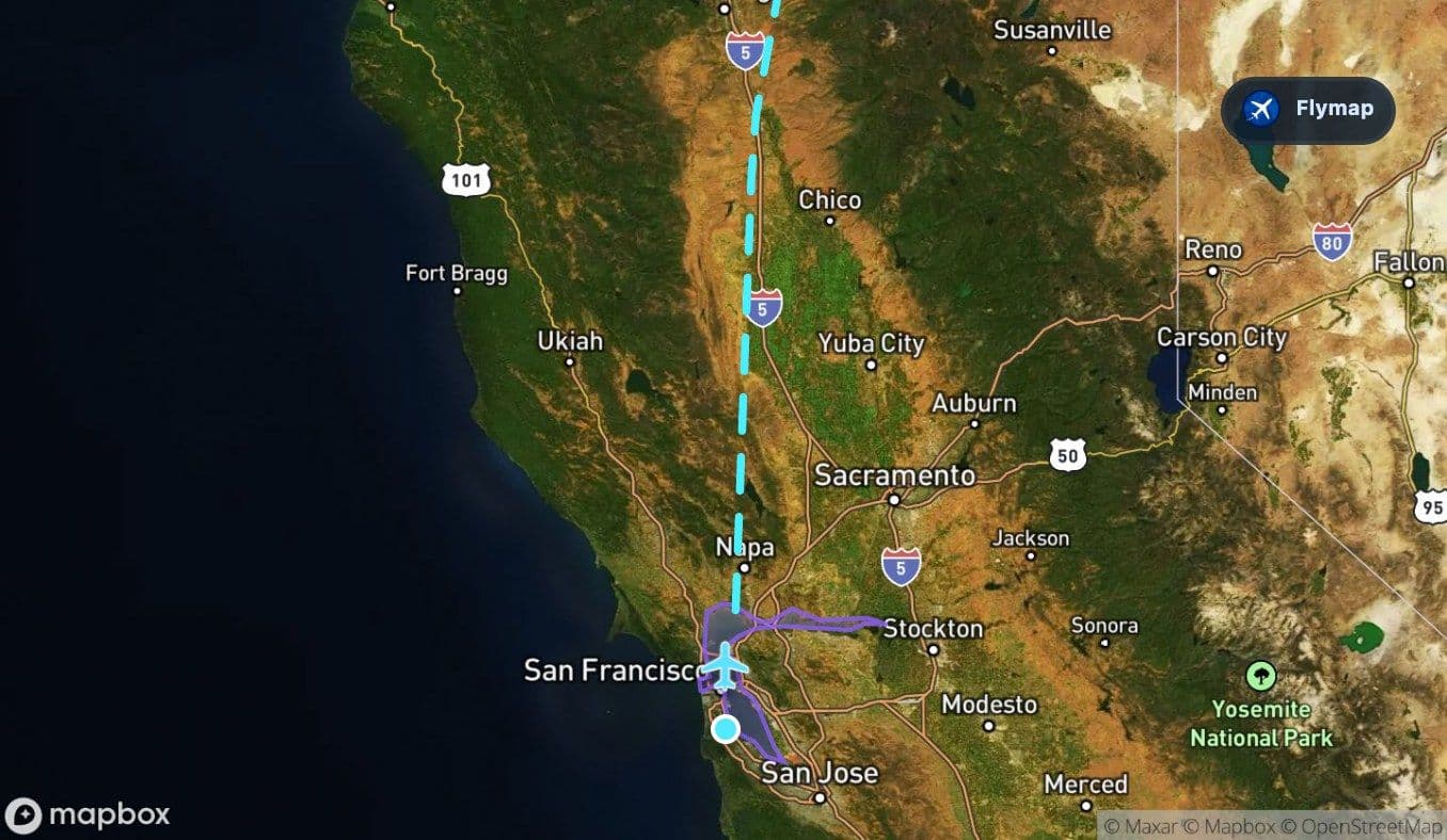
The bay section is brief, but visually rich. Passengers may notice sheltered water, tidal edges, and the difference between urban land and open estuary. If the departure path gives the right angle, islands such as Alcatraz or Angel Island may help orient the view, though exact visibility always depends on seat side, weather and routing.
California opens into the Central Valley
After the Bay Area and the Pacific Coast Ranges, the route moves inland across California. The Central Valley is a strong contrast to the coast: broad, flat, agricultural and much more geometric from above.
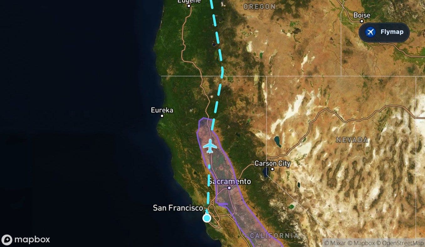
Fields can appear as a grid of rectangles and irrigation patterns. Rivers and reservoirs may stand out as darker lines and shapes. This is the flight’s first major landscape shift: from the complicated water-and-hill geography around San Francisco to one of California’s great interior valleys.
The first volcanic clues in northern California
As the aircraft continues north, the terrain begins to rise toward the Cascade system. Northern California brings the route closer to volcanic country, with Mount Shasta and Lassen Peak among the notable volcanic landmarks listed near this corridor.
This part of the journey can be especially rewarding in clear weather. The landscape becomes less regular than the Central Valley. Forests, ridges, lakes and volcanic forms start to replace the flatter agricultural texture below.
Look for three broad changes:
- flatter valley land giving way to darker uplands,
- isolated high peaks becoming easier to spot,
- snow or pale summit areas standing out against forested terrain.
Oregon is the long middle mountain stage
Oregon carries a large part of the route northward. This section is where the Cascades become the main story rather than a background feature.
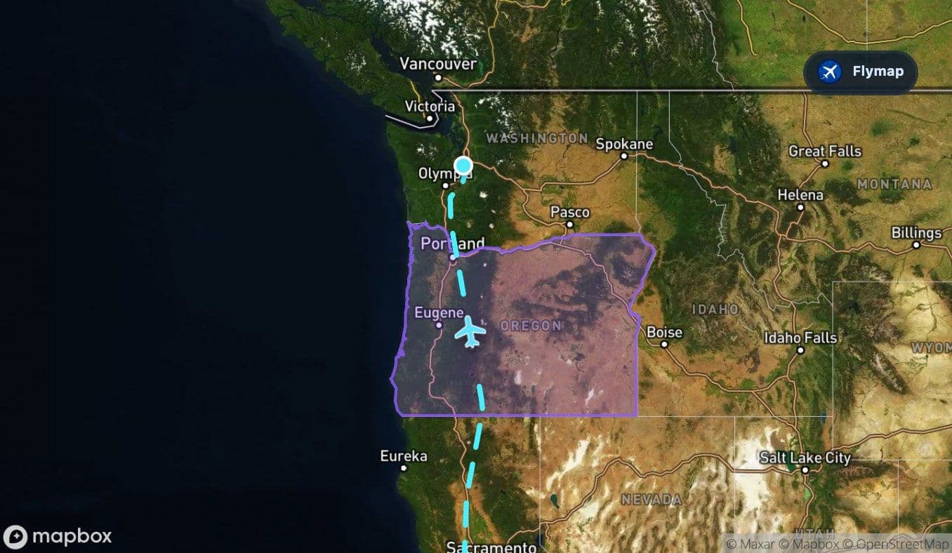
The route passes through a state known in this data for coastal cliffs, forested mountains and high desert plateaus, but along this flight path the Cascade Range is the main visual anchor. Mount Hood, Mount Jefferson, the Three Sisters, Mount Bachelor and Crater Lake are among the notable volcanic or mountain features associated with the broader corridor.
Crater Lake is especially distinctive when visible: a deep blue lake set inside the collapsed remains of Mount Mazama. Not every seat or route variation will reveal it clearly, but it shows why this flight is so rich for passengers who enjoy reading the landscape from above.
Washington brings the final reveal
Crossing into Washington, the flight approaches its destination-side landscape. This is where the route’s mountain story can peak, because Mount Saint Helens and Mount Rainier are both major volcanic landmarks in the wider approach region.
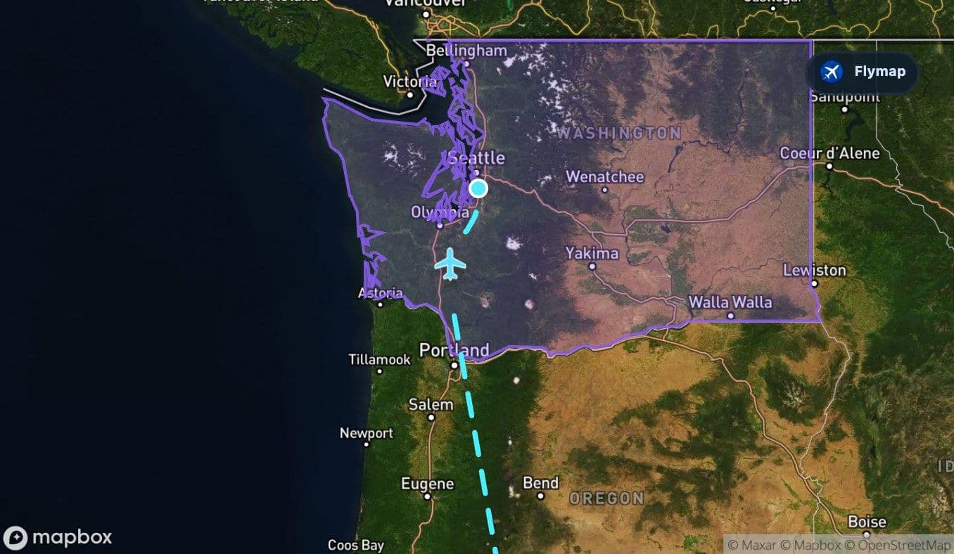
Mount Saint Helens is known for its dramatic crater, while Mount Rainier is one of the most visually dominant peaks in the Pacific Northwest. If the weather is clear and the seat is on the right side for the day’s approach, these mountains can become the final memorable images before the descent toward the Seattle area.
The last part of the flight may also bring more signs of the Pacific Northwest: darker forests, river valleys, lakes and the urban region around Seattle–Tacoma.
Route summary
- The flight starts with San Francisco Bay, a compact but visually rich estuary landscape.
- California’s Central Valley adds a flat, agricultural contrast before the terrain rises.
- The Cascade Range is the dominant feature, shaping much of the middle and later route.
- Oregon brings a long mountain section with volcanic landmarks across the wider corridor.
- Washington provides the destination-side reveal, with Cascade peaks leading toward Seattle.
*Data based on a historical route track for UA1885.
Route Gallery (7 images)
Download this or any other flight map in Flymap app
Open Flymap on your phone for app-store download links and offline-ready flight maps.


Flymap app