June 17, 2026
Vancouver to Toronto: From Pacific Mountains to Great Lakes
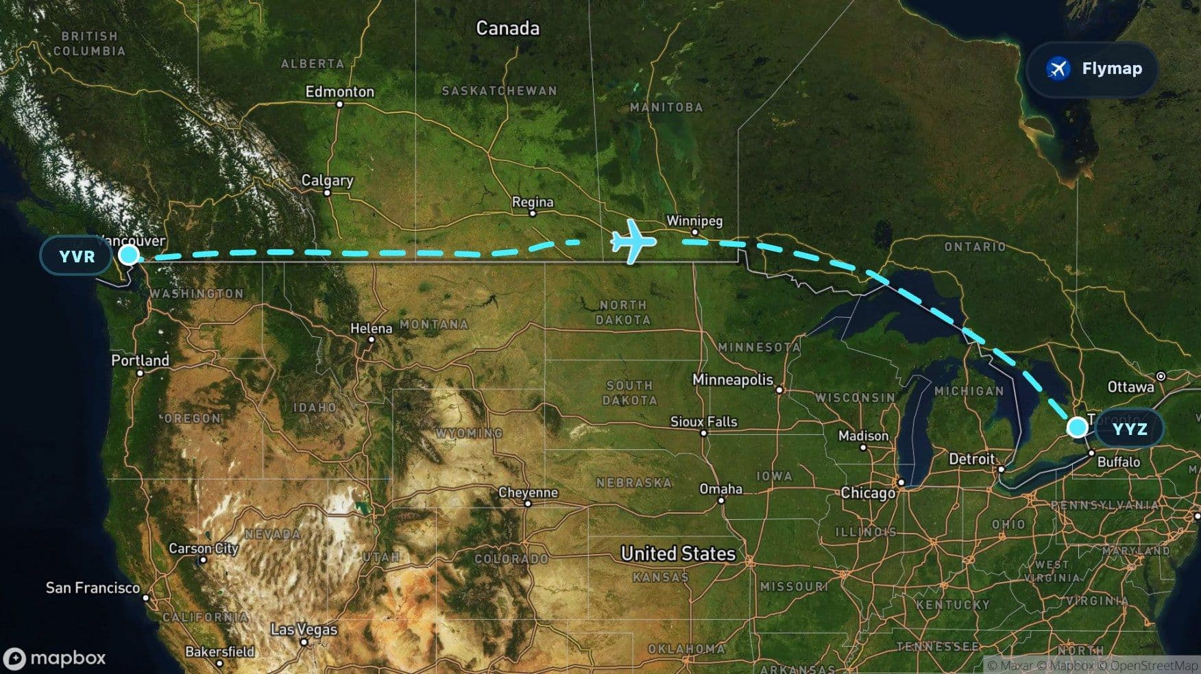
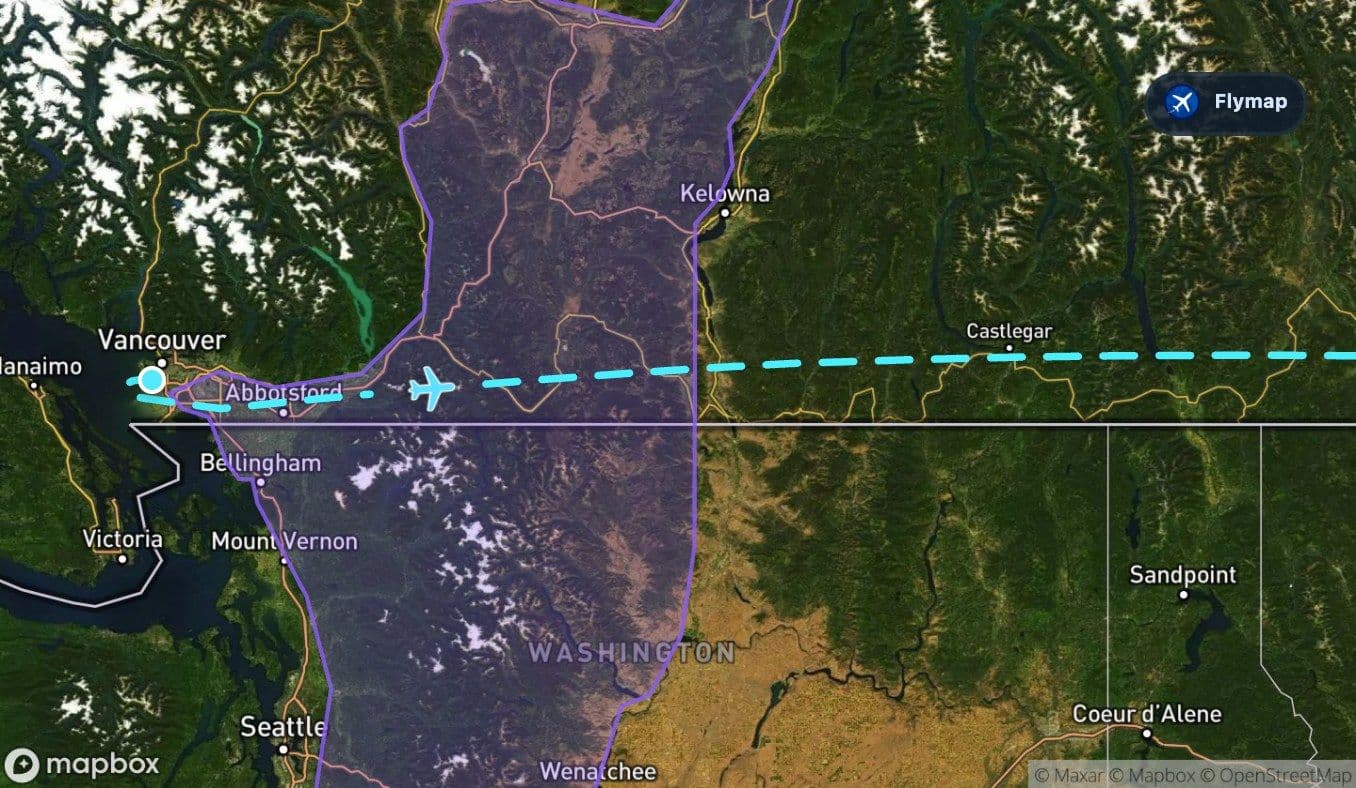
See what you may fly over from Vancouver to Toronto Lester B. Pearson, including Salish Sea, Canada, Cascade Range, Columbia Kootenay Mountain and Rocky Mountains.
Distance
3,475 km
Timing
3h 55m
Countries
1 country
 Vancouver
 Salish Sea
 Canada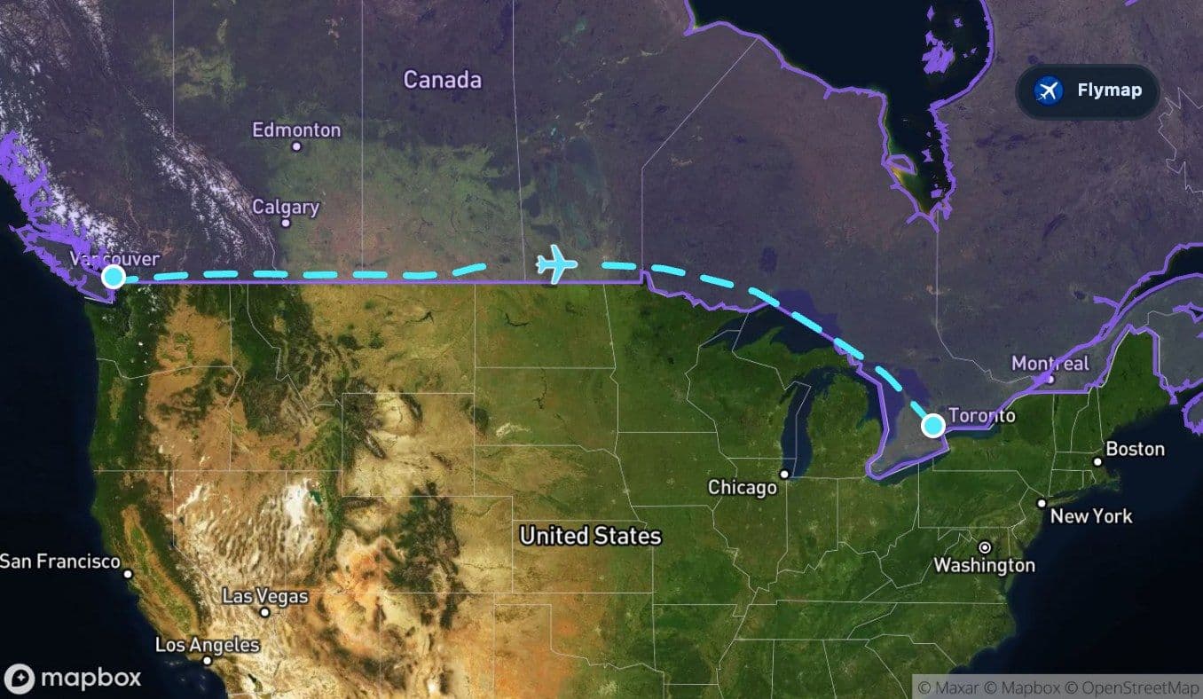
 Cascade Range
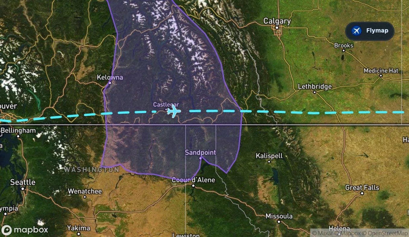
 Columbia Kootenay Mountain
 Rocky Mountains
 Great PlainsCentral Lowlands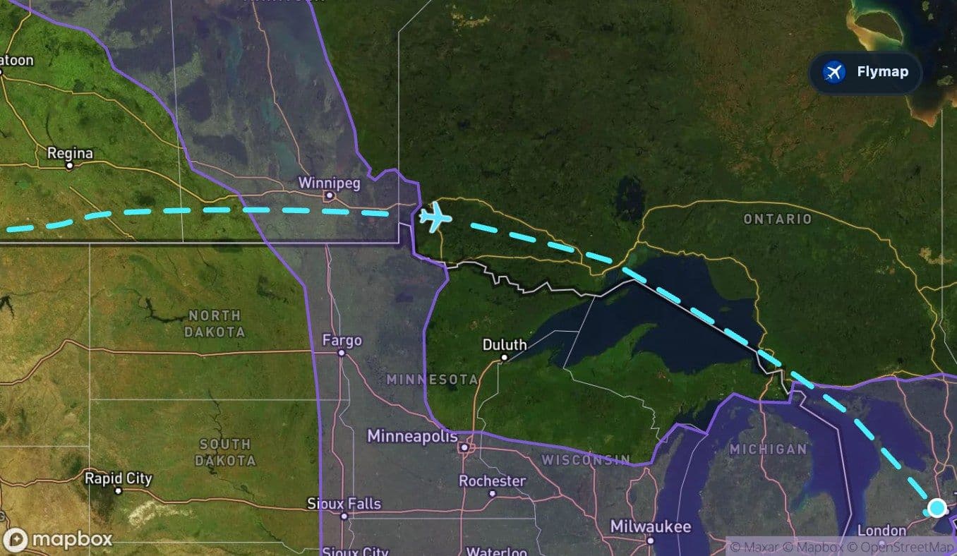
 Woods
Woods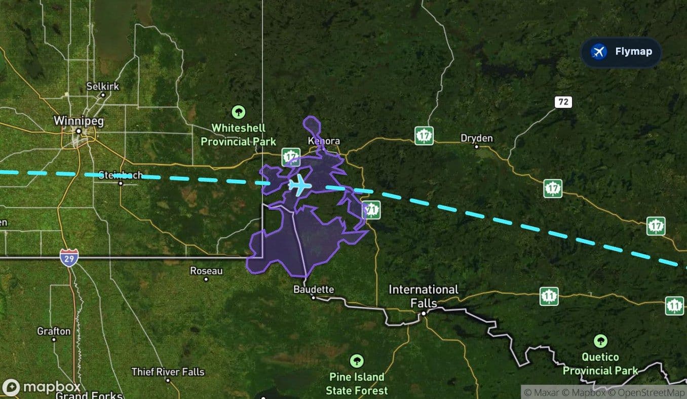 SuperiorWhitefish Bay
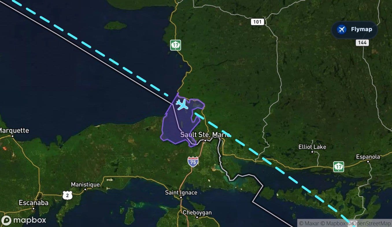 North Channel
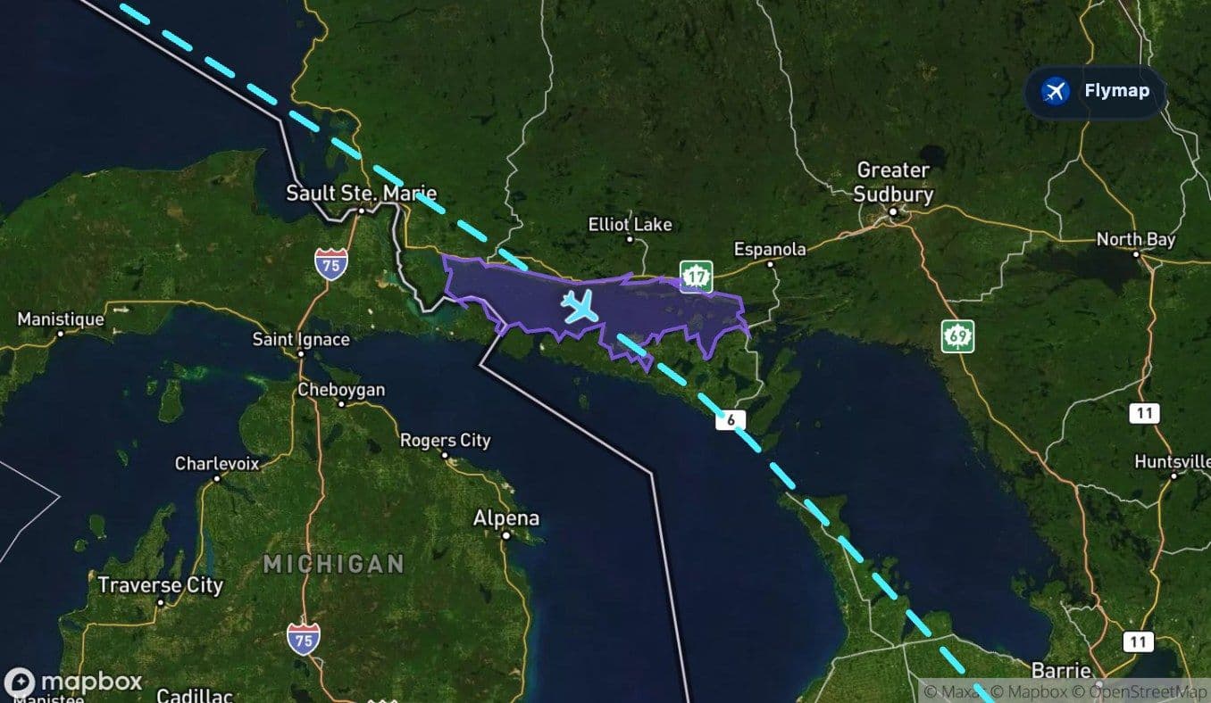 HuronToronto Lester B. Pearson
The Vancouver to Toronto flight is a cross-section of Canada in one long eastbound sweep: Pacific water and island channels at the start, mountains soon after departure, then a huge flattening into plains before the route reaches the Great Lakes. The strongest contrast is simple but dramatic — the aircraft leaves the mountainous west and arrives through the lake country of eastern Canada.
Flymap helps make that change visible from the window, especially when the scenery shifts from sharp terrain to broad plains and then suddenly back to vast water.
From sheltered sea to rising terrain
The route begins beside the Salish Sea, a coastal inland sea shaped by islands, inlets and protected waters. This first section is short, but it gives the flight a very different opening from an inland departure.
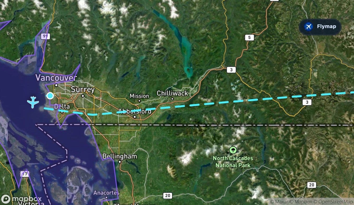
From the window, the early view may include water channels, coastal edges, islands and the urban area around Vancouver. Almost immediately, the route begins to trade coastal detail for mountain terrain. That transition happens quickly enough that the start of the flight can feel like a compressed geography lesson: sea, city, forested slopes, then higher ground.
The western wall: Cascades, Columbia-Kootenay and Rockies
After departure, the aircraft crosses several mountain regions in succession. The Cascade Range appears first, followed by the Columbia Kootenay Mountain region and then the Rocky Mountains.
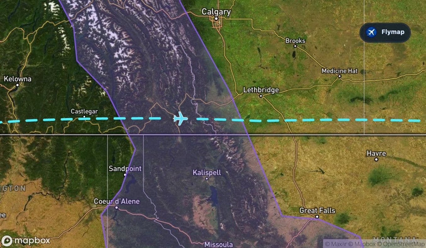
This is the most rugged part of the flight. The route does not stay over one neat mountain block; it moves through a layered western landscape of ranges, valleys and peaks. Depending on weather and season, passengers may notice snow, dark forested ridges, bright lakes in mountain basins, and long valleys cutting through the terrain.
The Rockies are the clearest symbolic threshold. Once they fall behind, the route begins to feel less vertical and more open.
The first hour of this flight is about relief: water at the edge of the continent, then mountain after mountain before Canada opens eastward.
Where the land flattens into the plains
East of the mountains, the Great Plains take over. The visual change can be striking. Instead of jagged terrain and compact valleys, the land becomes wider, flatter and more repetitive from above.
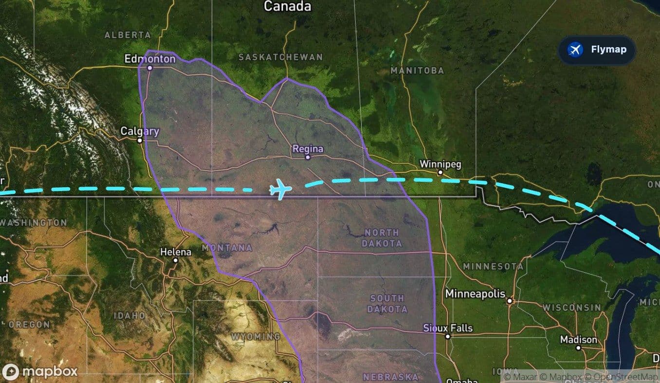
Fields, roads and river lines may appear in larger patterns. The view is less dramatic than the mountain section, but it carries the scale of the country better than almost any other part of the route. This is where the flight stops feeling like a mountain crossing and becomes a long interior traverse.
The quiet middle: Central Lowlands and lake country
After the Great Plains, the route continues into the Central Lowlands. This is another broad lowland region, but the eastern half of the journey begins to introduce more water again.
The lake labelled as Woods on this route appears as a short freshwater landmark before the Great Lakes. It is a reminder that this part of North America was shaped heavily by water and glacial landscapes. From above, lakes can break up the plain with irregular shorelines, islands and darker surfaces.
The shift is gradual: first plains, then more lowlands, then a much larger inland sea suddenly appears.
Lake Superior changes the scale
Lake Superior is the biggest visual landmark on the eastern half of the route. After so much land, its open water can feel almost oceanic from the aircraft.
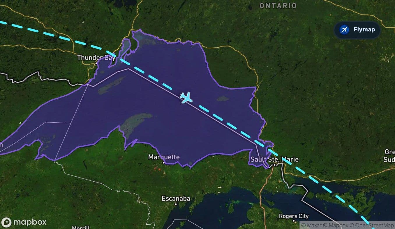
The route crosses a substantial section of Superior, and this is where the flight’s second major contrast becomes clear. The western half was defined by mountains and plains; the eastern half is increasingly defined by immense freshwater lakes.
On a clear day, Lake Superior may look like a deep blue expanse with long shorelines and scattered cloud shadows. In poor visibility, it may be hard to appreciate from the window, but Flymap can still show why the view has suddenly become so open.
Whitefish Bay, North Channel and Lake Huron
After Lake Superior, the route meets Whitefish Bay and then the North Channel and Lake Huron. These features make the final third of the flight feel like a chain of inland waters rather than a simple approach across land.
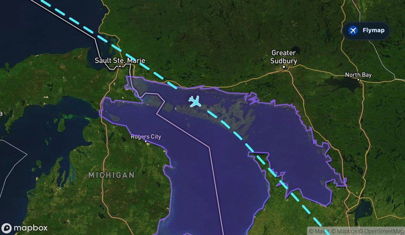
Lake Huron adds another large water landmark, with rocky shores, islands and broad open water across the wider region. The North Channel is especially useful as a geographic clue because it links lake basins and gives the landscape a broken, island-rich feel.
This is the destination-side reveal: after mountains and plains, the approach to Toronto is framed by the Great Lakes system.
Toward Toronto after the water
The final approach to Toronto comes after the route has crossed the major western mountains, the central plains and the Great Lakes. By this stage, the geography has changed several times, but the overall pattern is easy to remember: Vancouver begins beside Pacific water and mountains; Toronto is reached after inland lakes and lowlands.
For passengers, the most rewarding moments to watch are usually the early coastal-and-mountain climb, the flattening into the plains, and the sudden scale of Lake Superior. Together, they make this domestic route feel much larger than a city-to-city flight.
Route summary
- The flight starts near the Salish Sea, with coastal water, islands and Vancouver’s urban edge below.
- The western section crosses the Cascades, Columbia-Kootenay region and Rocky Mountains.
- The Great Plains and Central Lowlands create a long, flatter middle stage.
- Lake Superior is the largest water landmark on the eastern half of the route.
- Lake Huron and the North Channel shape the final Great Lakes approach toward Toronto.
*Data based on a historical route track for WS736.
Route Gallery (12 images)
Download this or any other flight map in Flymap app
Open Flymap on your phone for app-store download links and offline-ready flight maps.


Flymap app